Weather: Early morning mist, giving way to sunshine above the clouds
Rowardennan to Ben Lomond: 7 ½ miles (7.2 on Pedometer)
Map:
Total Steps: 15180
Acc Steps: 43384
I woke up at just after 5am, peeked out of the window and thought why not. I remembered to put my gloves in my pack at the last minute and crept out of the hotel at around 5:30. The early morning light was adding a gentle glow to the valley across the Loch, but looking up there was low cloud hanging around the flank of Ben Lomond. The summit was clear and looking very far away.
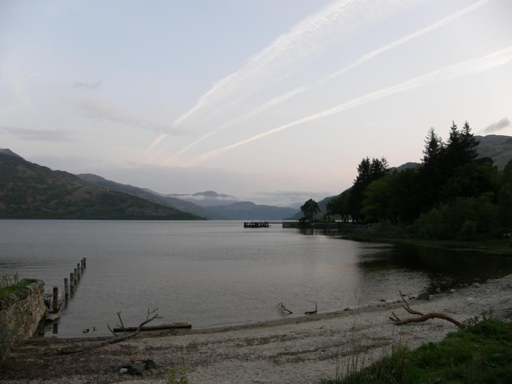
Clear cool air down at the loch
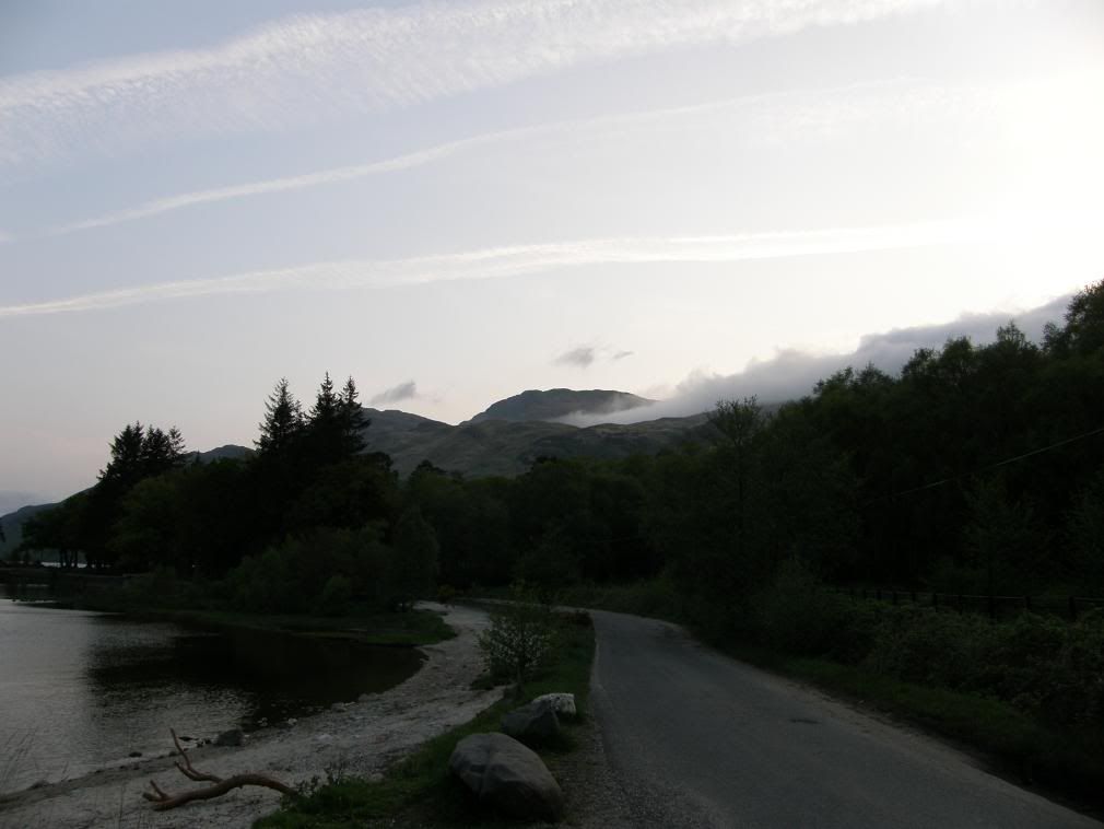
The summit is clear but the low cloud was developing
After consulting my guide book, I set off behind the hotel and walked up a path that didn’t go anywhere. So if you want this route, turn left out of the hotel and then right at the information centre. You can’t really go wrong, although the waiter at the hotel managed to get thoroughly lost. There is a wide forest track that gently ascends at first, before becoming steeper. The guide books show a large forested area, but thankfully the Scottish Forestry Commission has been clearing them away and improving the views. Unfortunately when plantation trees are cleared the remaining landscape can be left a real mess. But that didn’t take the pleasure away from the walk.
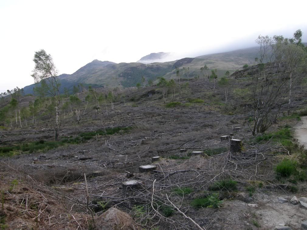
The initial steeper part through the cleared plantation trees
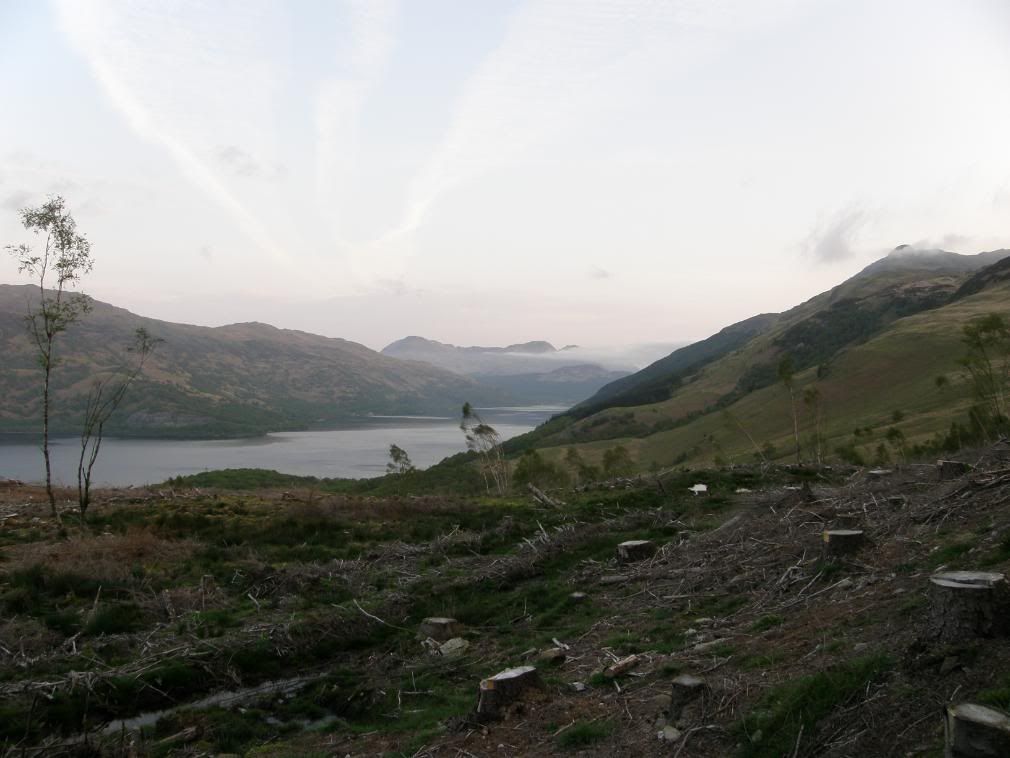
The lower peak of Ptarmigan with some fluff on it
The gentle ascent soon becomes a steeper climb and the body gently warms to the task. The path is well marked and climbs higher through the cleared plantation woods. It varies between a sandy path, to gravel, to bare rock and laid steps. There are some rocky outcrops to walk over but all are fairly gentle in nature. The hardest part of this walk was the early steep climb up, it seems never ending. I heard a Cuckoo calling from the valley cutting down the flank of Ben Lomond – very apt for so early in the morning as there wasn’t anybody else around, but there were a few vehicles passing the other side of the Loch.
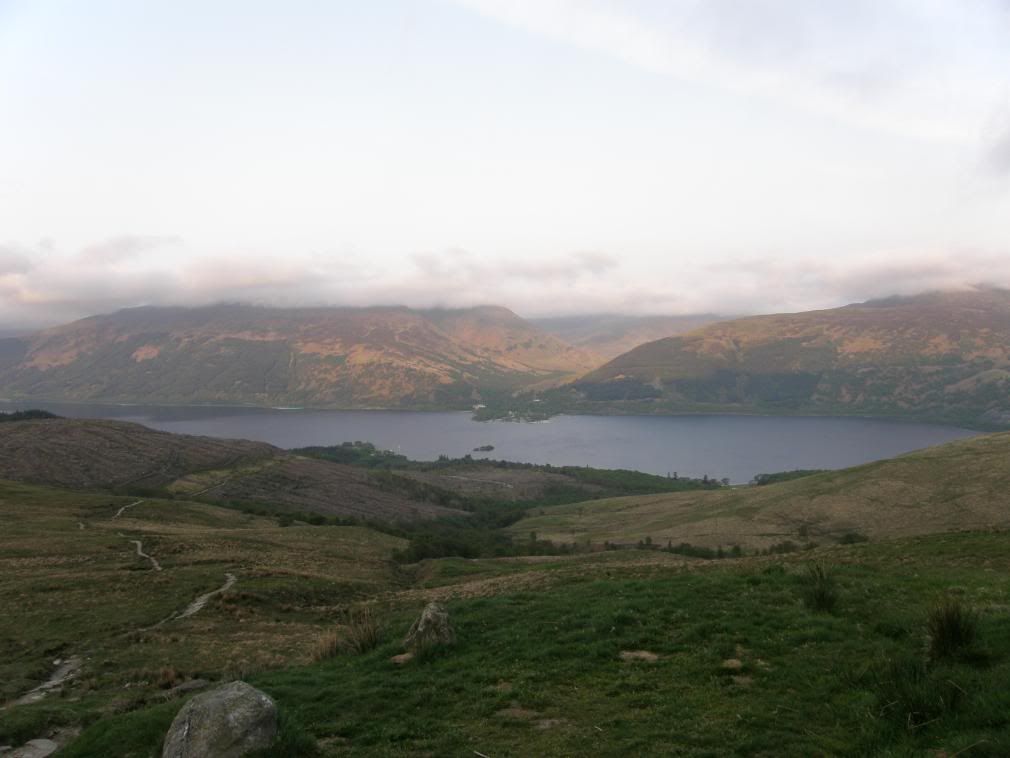
Looking over to Tarbet on the far shore
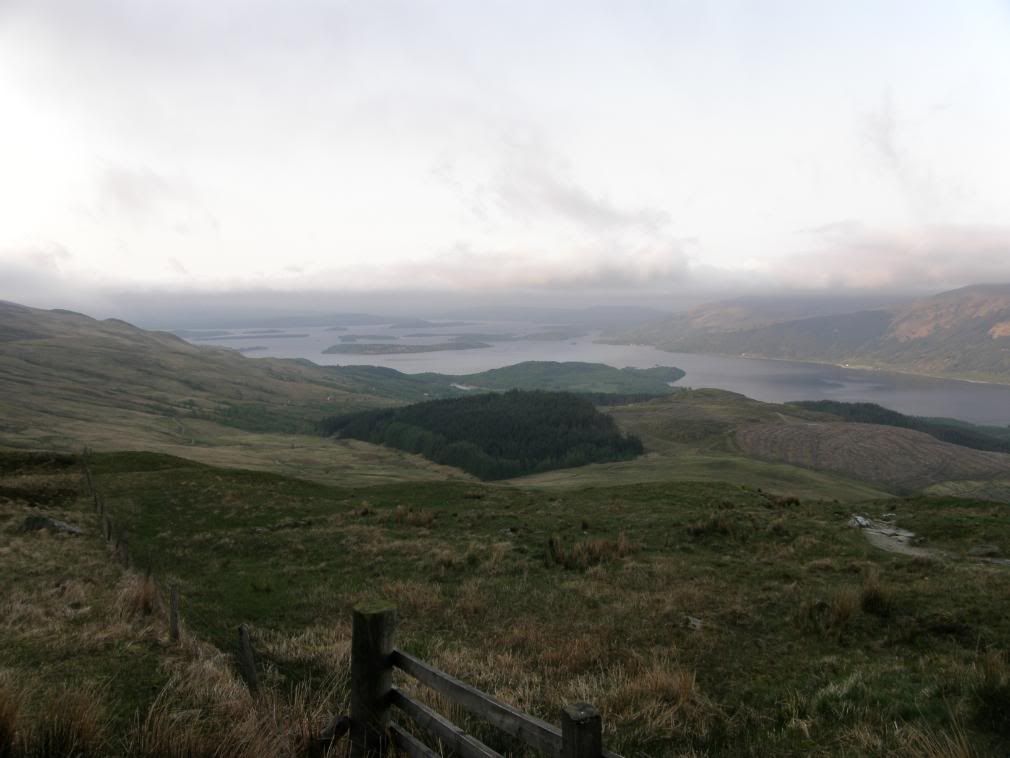
Looking back down Loch Lomond to the islands
My only company on the way up was the birds – a couple of Partridges, a few highland cattle – the hornless variety and the usual sheep. After about ¾ mile there is a short easy gradient that will give you a breather, it gave me a view of the mist & low cloud persisting over the flank of the hill. This leads to a gate on the Scottish National Trust land of Ben Lomond. The walk begins to get steeper again, and the path winds itself up in a series of steps on the worst of the slope – every little helps. After 1hr I reached another gate marking a fence line and was ever closer to the low cloud and hoping that the gradient would ease off sooner rather than later. Eventually at around 570m the ground eases off and I could now stride out and make good progress. I had to don overtrousers and jacket as there was a chill wind blowing, and I was glad of my winter wear.
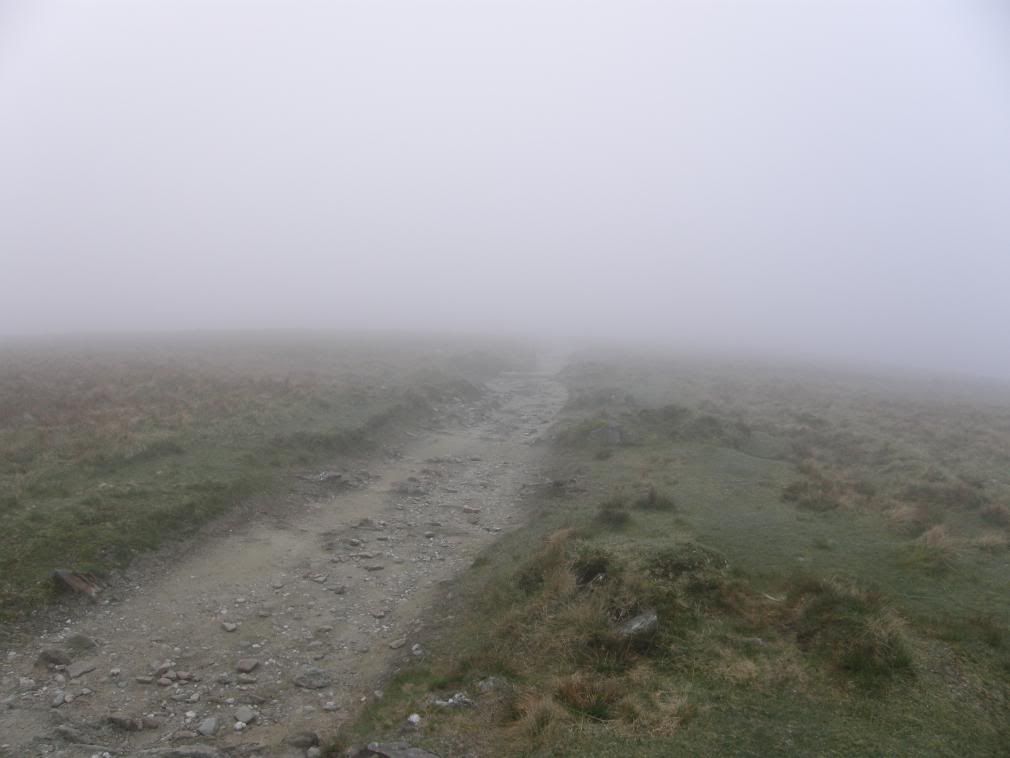
The gradient eases, but so does the view!
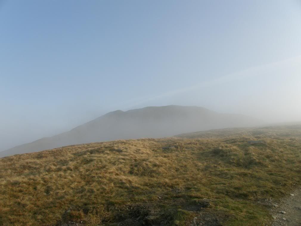
The summit appears through the mist and so does a grin
Later in the day I would have been sweating buckets up here, but at 6:30 it wasn’t too warm. I thought there was a patch of snow towards the summit but it turned out to be a quartzite band. The path was worn through to bedrock in places and it appeared to me to be made up of Phyllite which is slightly more metamorphosed than Slate – it is reminiscent of a rumpled blanket, and shinier than Slate. With the mist persisting, there wasn’t much to distract me, so I made good time towards the summit. There are a number of false summits before you eventually get up towards the top. Sure enough the cloud cleared and a big grin appeared from nowhere.
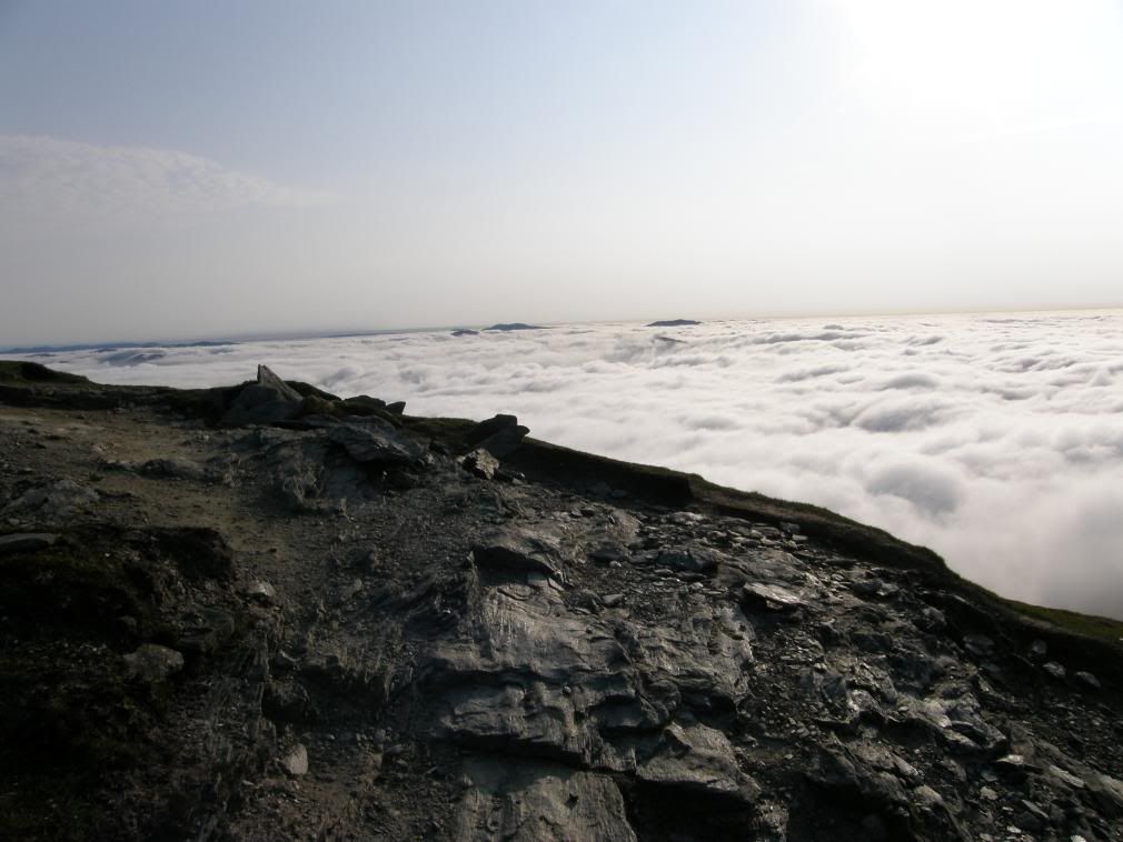
Above the cloud looking towards The Trossachs
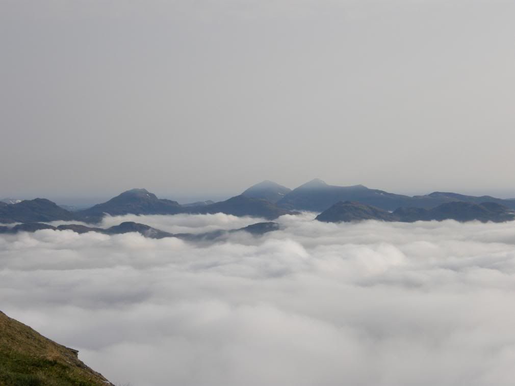
The hills beyond Loch Katrine
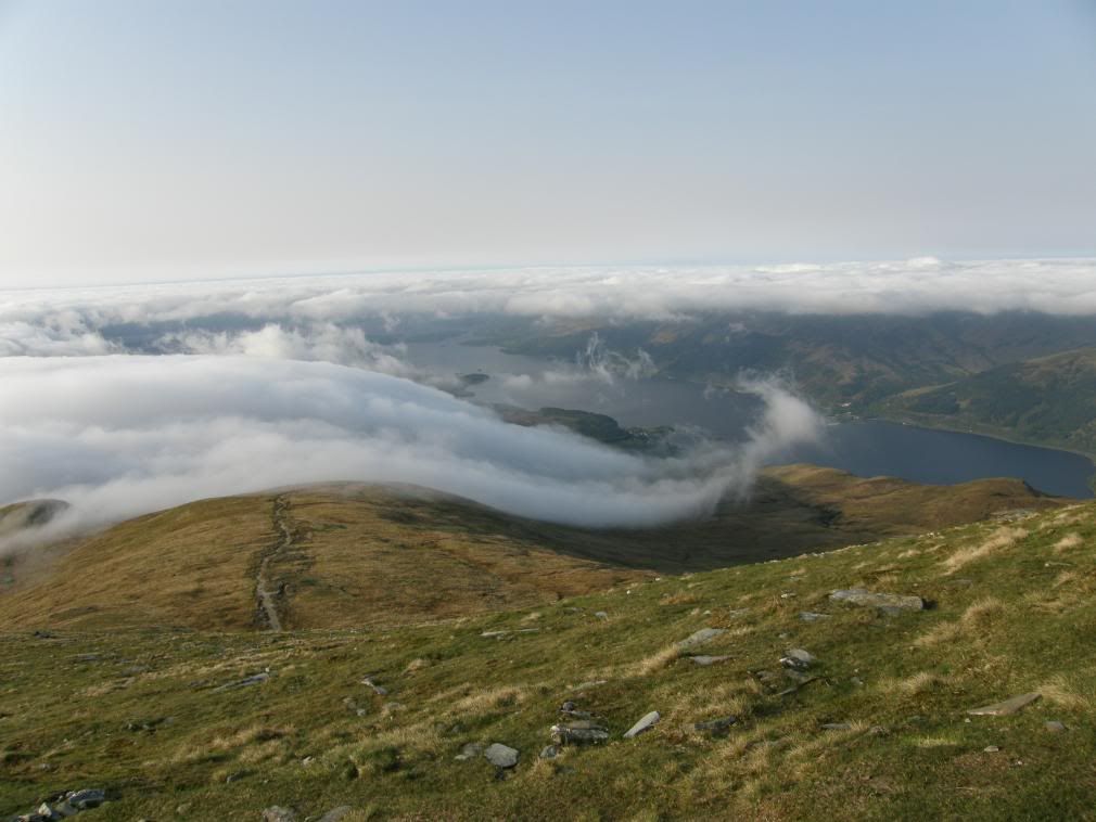
A very fetching quiff – Rowardennan far below
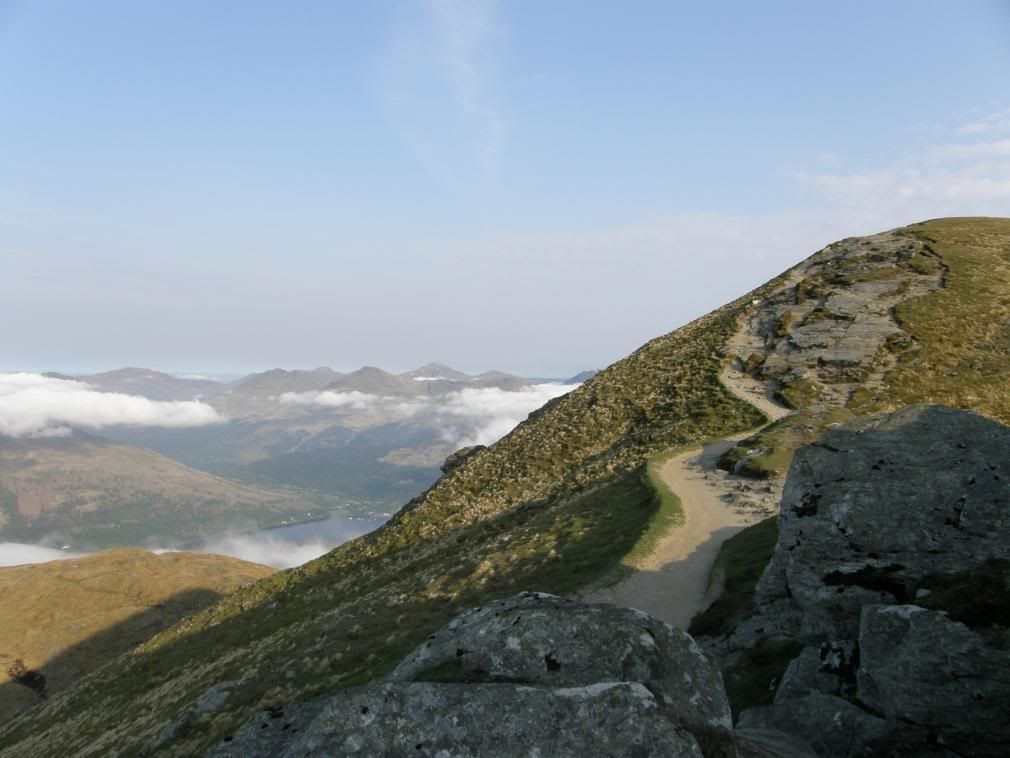
Ardlui down at the lochside, Ben Oss amongst others hills
As I got higher the cloud got lower, and the adjacent hills came into view. The last climb up towards the summit was a steeply zigzagging path, then turned left under some rocks for an easy walk to the summit trig point. Once on the top the views above the cloud were great. It was very atmospheric with the many hilltops peaking above the clouds. The Arrocher Alps showing majestically. All that was left was for me to do a little jig and shout yeeehaaaa. What a great feeling and worth all the sweat and toil. It took me 2hrs 15mins to get to the top – probably due to the mist stopping me taking pictures all the time. So after 15mins on the summit I made my way back to the hotel in 1hr 25mins (hard on the knees) and walked into the dining room in time for a rather large feed. On the way down I surprised a fellow walker who was having his breakfast before the final walk to the top. He said “blimey och aye, ye must have been up early”. If I’d had a £ for everyone who said that to me on the way down, I would be £7 better off! Why is it that when you’re in Scotland you start talking to yourself in a pretend Scottish accent? Start to finish was 4hrs – amazing for me – obviously I wasn’t awake for half of it.
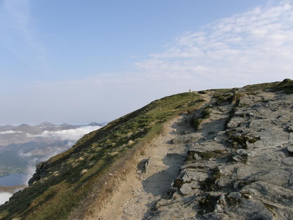
Finally the trig point comes into view
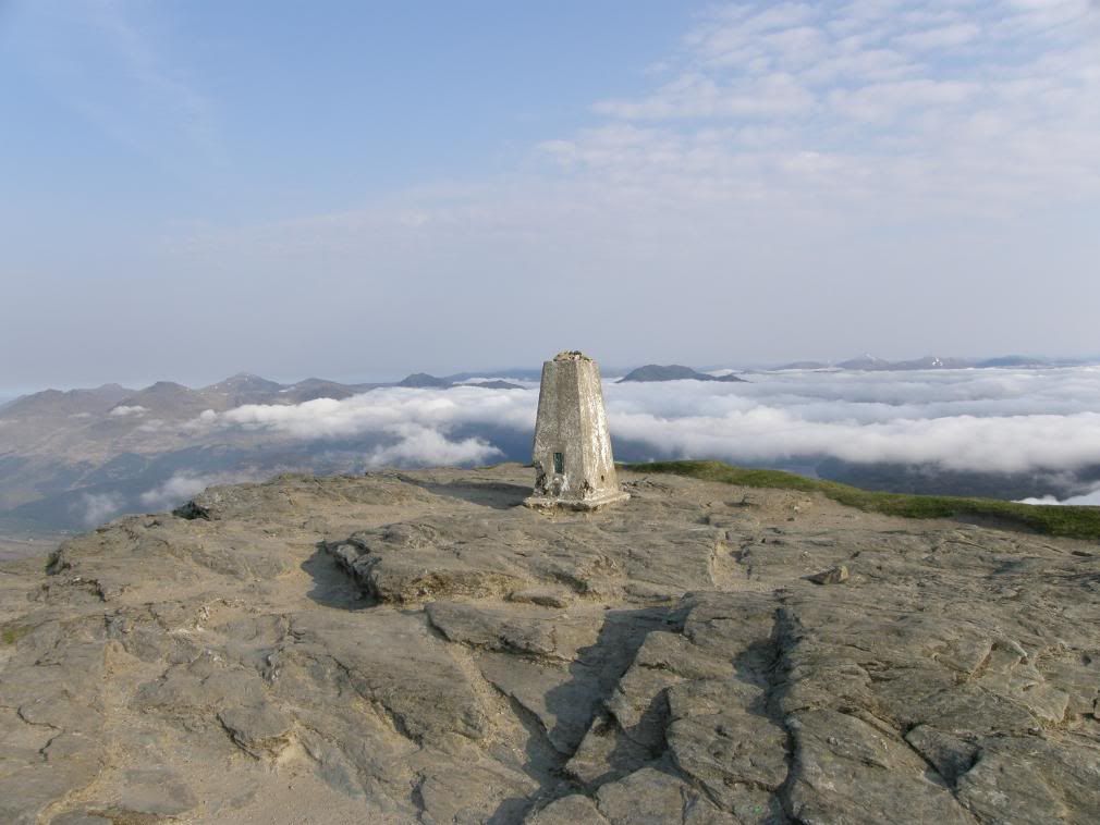
Looking NW from the summit. The cold has taken a bite out of the trig point
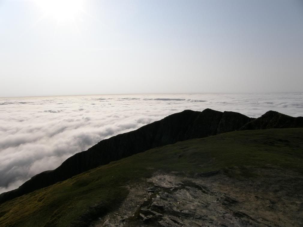
The view to the SW
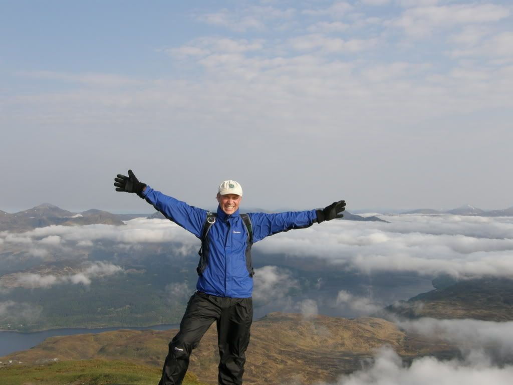
Just one step back sir…..sir?...
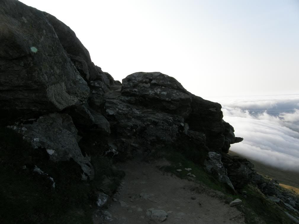
The path on the way back – an easy walk over here
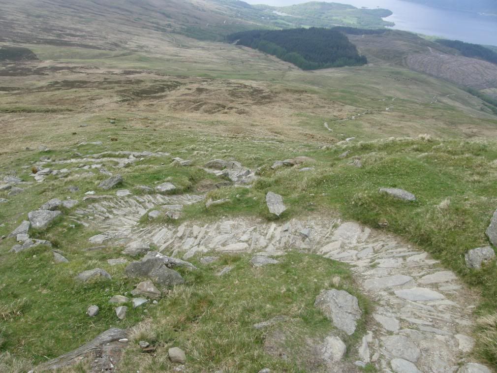
The long winding path down to breakfast

No comments:
Post a Comment