Weather: Sunshine early morning, then light showers in the afternoon
Tyndrum to Kingshouse: 18.5 miles (19.8 on Pedometer)
Map:
Total Steps: 41765
Acc Steps: 182950
We stayed overnight in the Bridge of Orchy a very comfortable hotel, and I decided to get up early and walk back for breakfast. A bleary eyed member of staff let us out at 06:15 and I had a lift back to Tyndrum. Disaster struck early on as my cameras batteries ran out of juice, and I hadn’t packed any spares. Luckily for me the man in the paper shop at Brodies kindly let me buy 4, even though he wasn’t open – a big phew with profuse thanks. The weather was crisp and I strode out determined to be back for breakfast before the time deadline of 9:30. It was about 7 miles back to the Bridge of Orchy, and I made it easily in time (2hrs). That split the day up, and made the 18.5 mile journey less of a burden. The early morning light is always a delight to be walking in, and is almost sleepy in its lightness. It always gives a fine light for photos, so if you have a favourite view that you ever want to capture – find out which way it is facing – east you catch it in the morning and west is vice versa. Beinn Odhat & Beinn Dorain (1076m) dominated the views and drew the eye all morning and a good part of the afternoon, such was their presence.
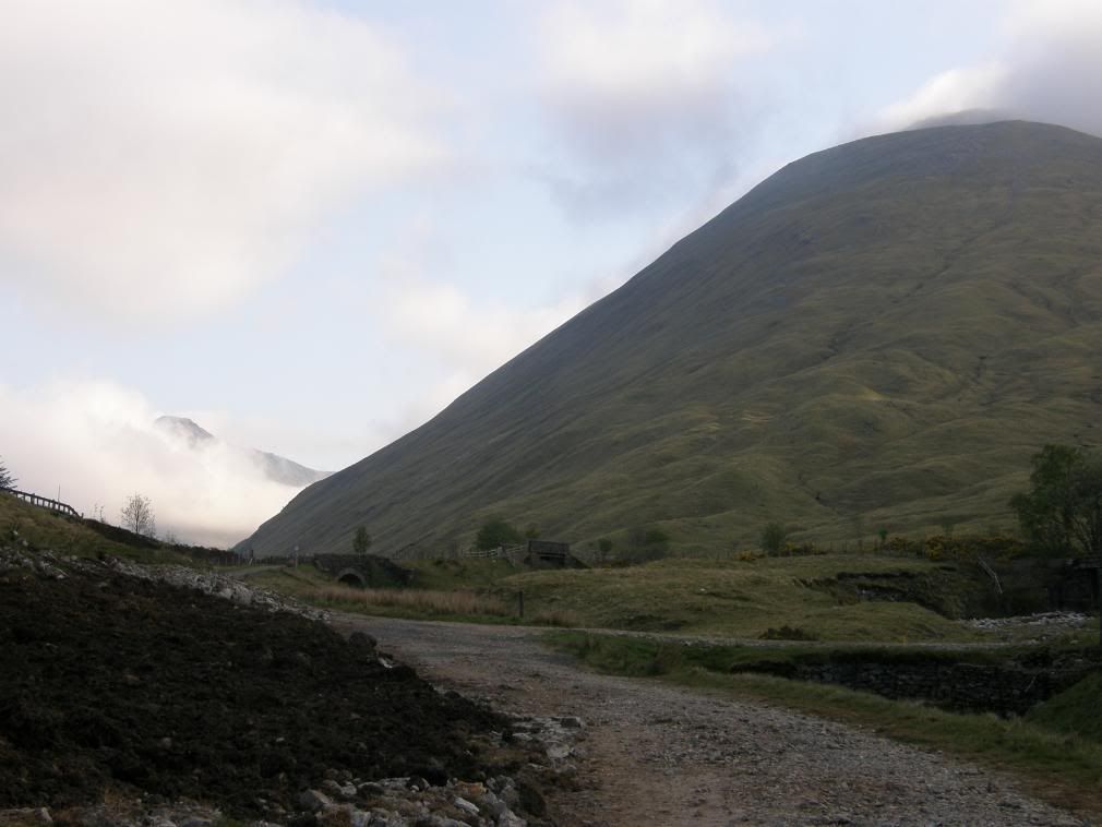
Beinn Odhar is the first big thing of the day
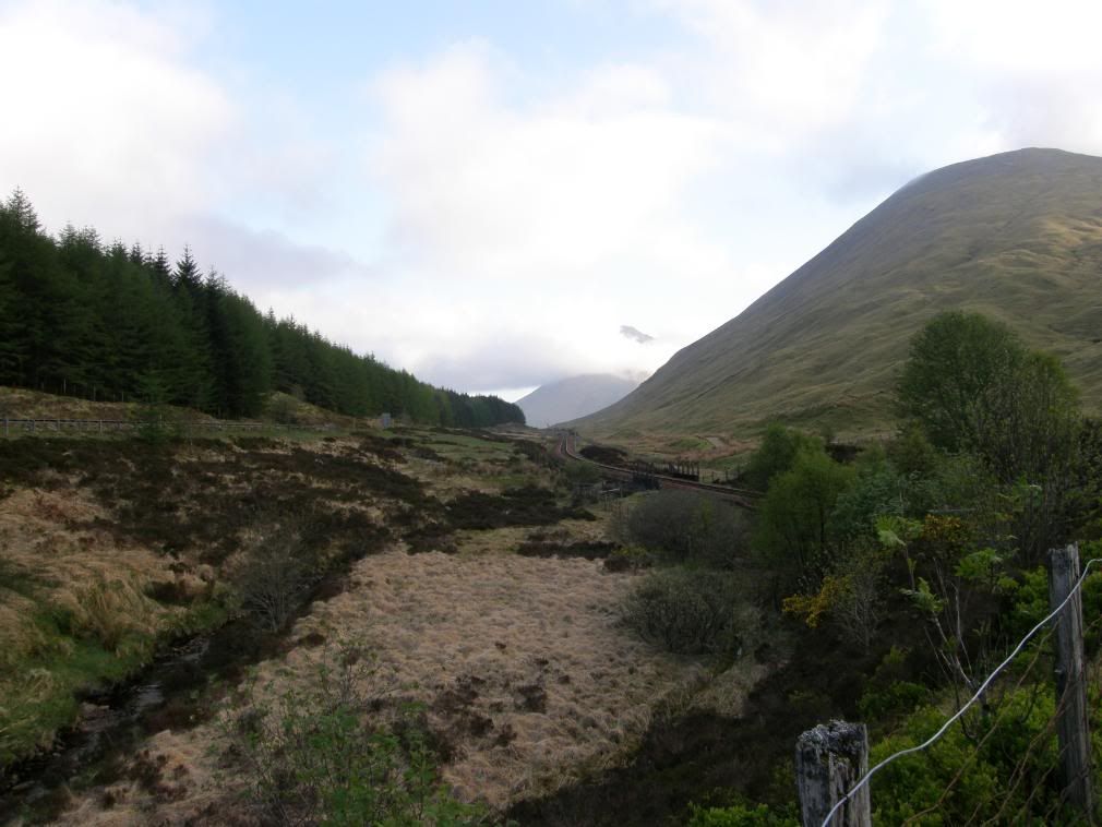
The road, the railway and the way – close together here
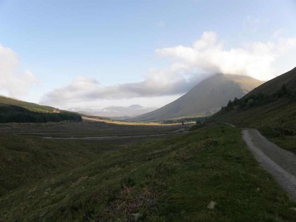
Beinn Dorain towers above the Auch estate
The cloud cover around the peaks made them look volcanic as did their form. The slopes down to the valley were hugely steep, so all the streams had no option but to flow directly downhill, giving the hillside a distinctive striated look. Early on it was cool in the shade, with the sun coming out of the side valley of Gleann Ach illuminating the Auch estate. Once in the sunshine I gently warmed and the way ahead was easy going on the old military roads.
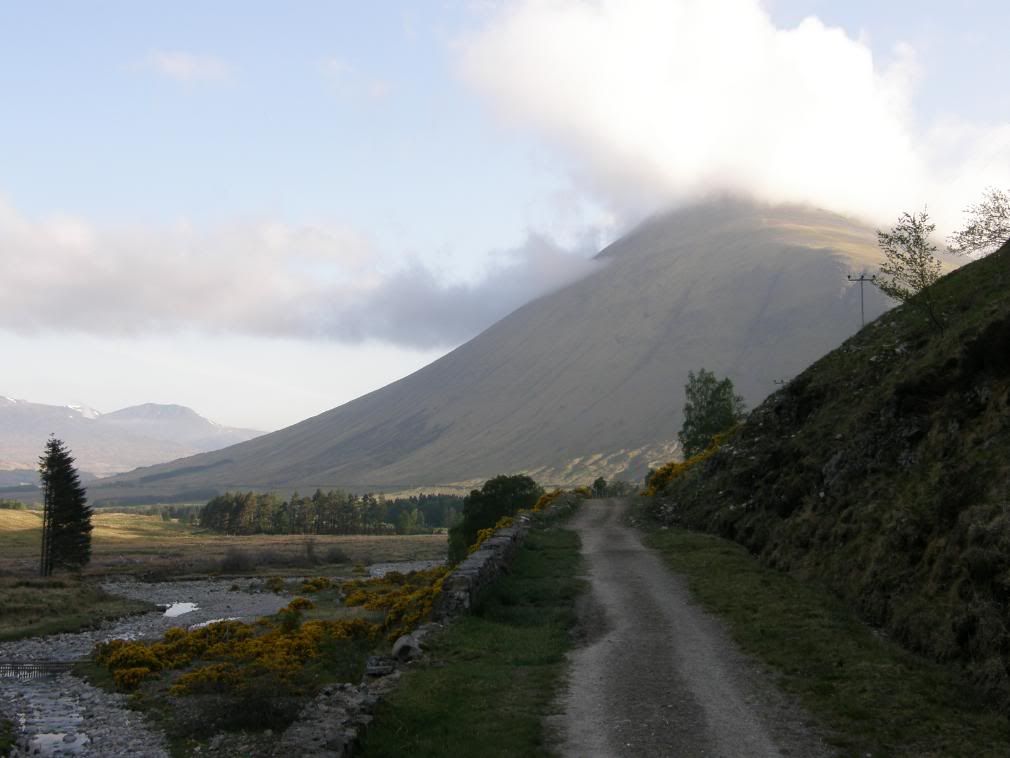
The streams have nowhere to wander – they flow straight down the hillside
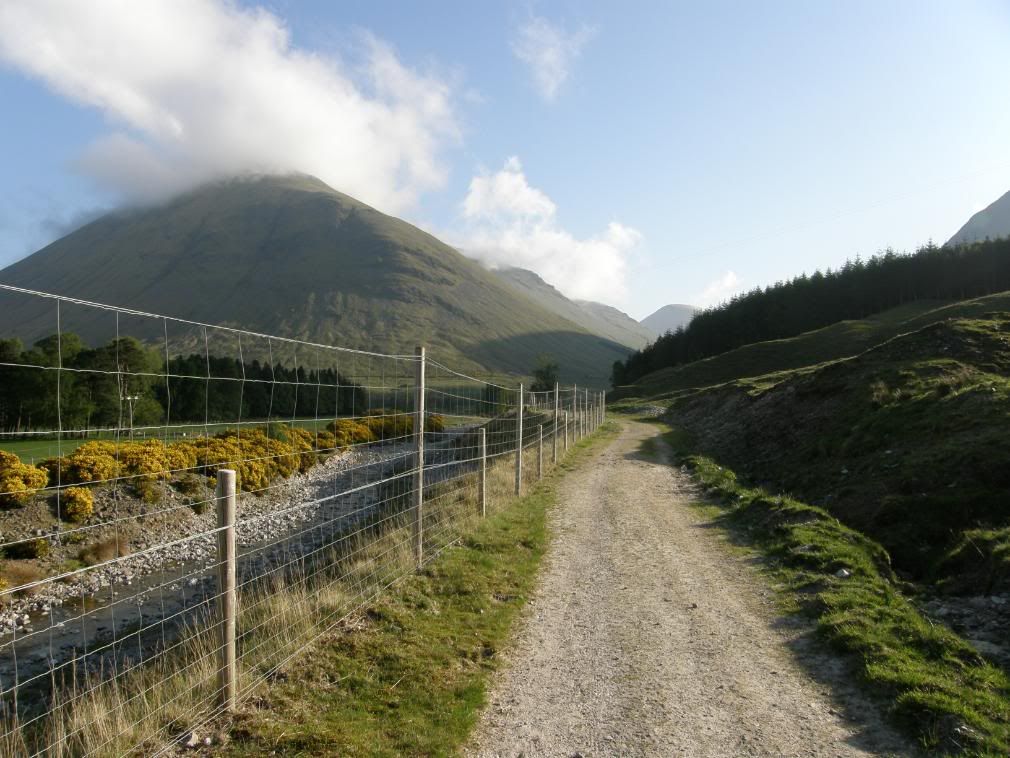
Walking around the edge of the Auch estate
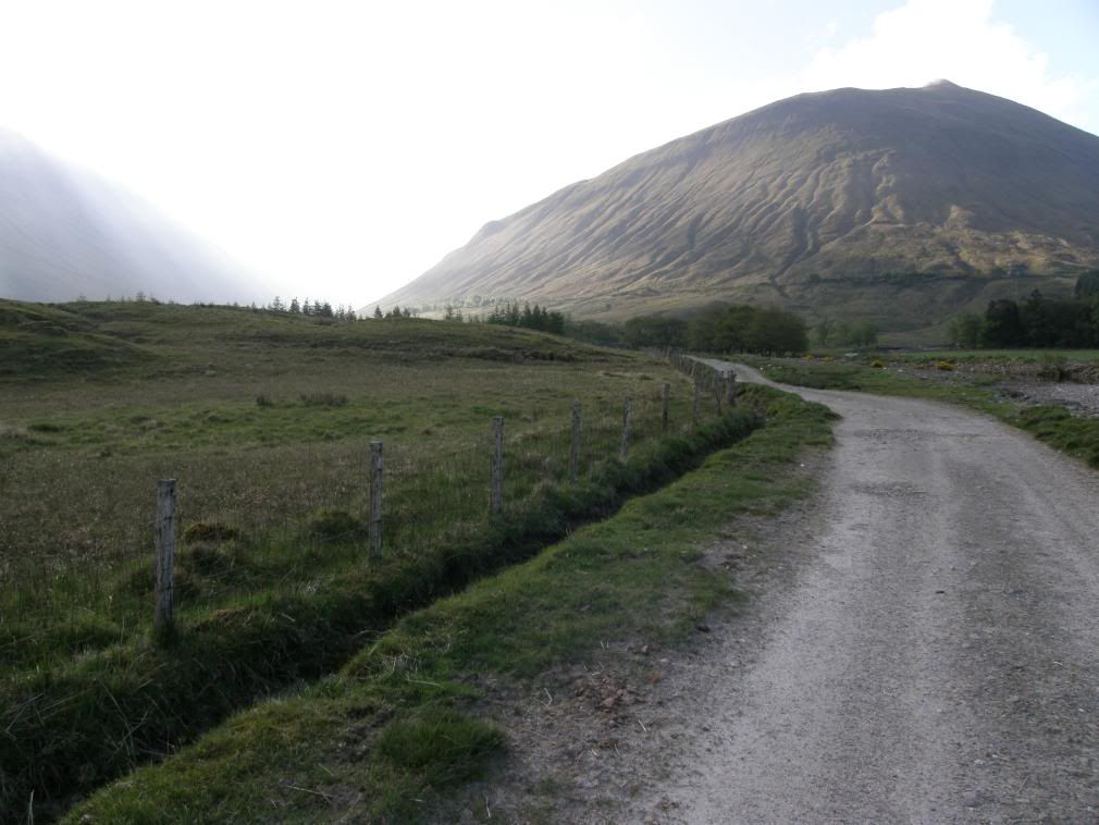
The striated butt of Beinn Odhar
The way stayed on these surfaces all day long, some better preserved than others. The finer stones were easier to walk on. A lot of the old military road had coarser stone with the gravel topping washed or eroded away. You can see the old surface - it is black and mossy, and this old surface can be seen for long sections of the military road even where the path is heavily eroded. The Caledonian Sleeper train passed by at 08:10, with the driver shhshing me not to wake the passenger. I’m sure they would have heard me shouting ‘wake up’!
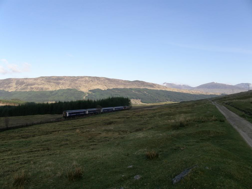
The Caledonian sleeper tiptoes past me
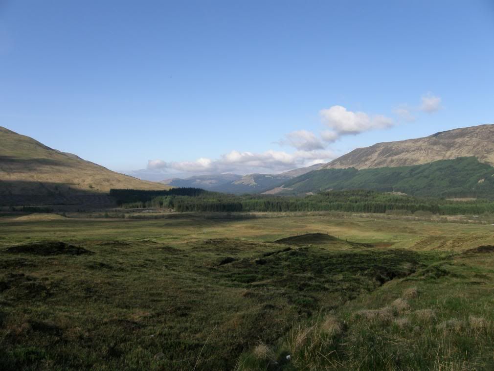
Looking back towards Tyndrum
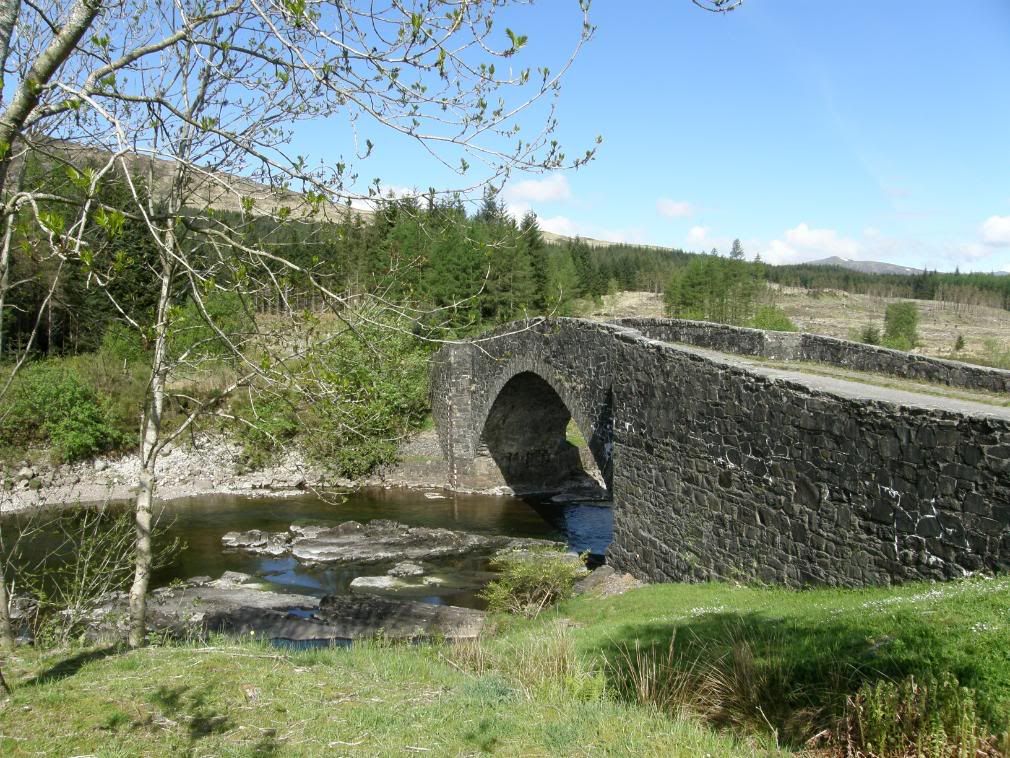
The Bridge of Orchy – built to last
I had a lovely break in The Bridge of Orchy hotel, and then strode out again into the morning sun over the fine bridge. The military road gradually ascended through a plantation and wound its way up the hill, finally opening a new vista to the north over Loch Tula and the wilderness of Rannoch Moor beyond – not a place to get lost on. There were still some remnants of snow on the hilltops, with a great 360deg panorama, which unfortunately I didn’t shoot in the correct mode on my new camera – another Homer Simpson moment.
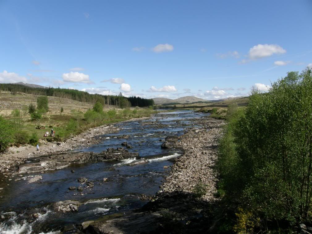
The river flows into Loch Tulla from here
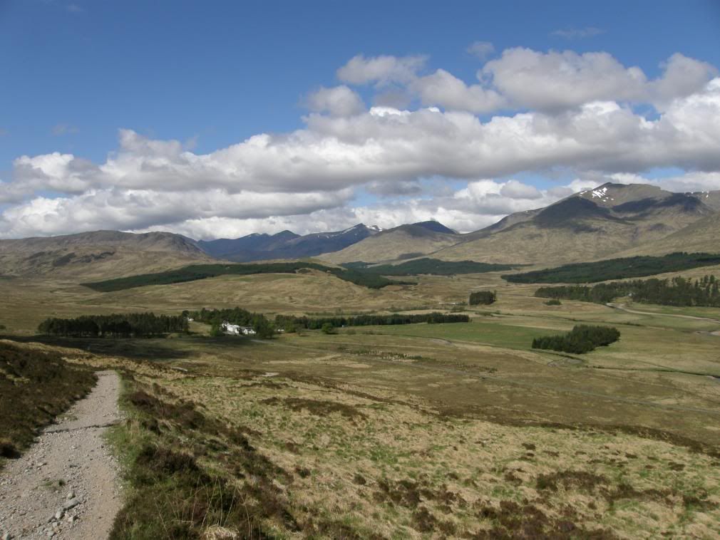
The hotel at Inveroran – a superb setting
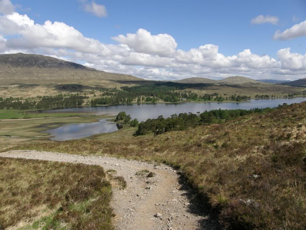
Loch Tulla and the way continues up the other side
I dropped down and passed the Inveronan Hotel, it looked ok and fresh but no customers. The road took me around to an estate gate, the drove route to Glencoe, and continued along the military road past Loch Tulla. I gained height across the lonely moor, the track undulating gently onwards and upwards across the boggy landscape – it was dry enough for me though, and a ditch at the side of the track keeps most of the water away. Finally after hearing 5 days of Cuckoos I saw one fly out of a solitary tree chased by a finch or a wren – definitely a David v Goliath. The surface of the military road was not so good here and there was a constant path developing on the grassy bank next to the track. I must admit my feet sought out the easier way, and I was guilty of following the side paths. But after so much mileage it is not so easy sticking to the harder, stonier surfaces.
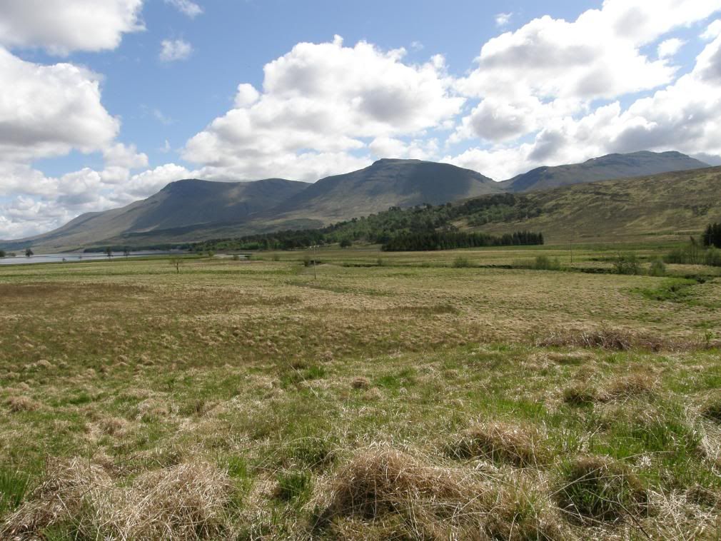
Looking back across the loch to the Grampian hills
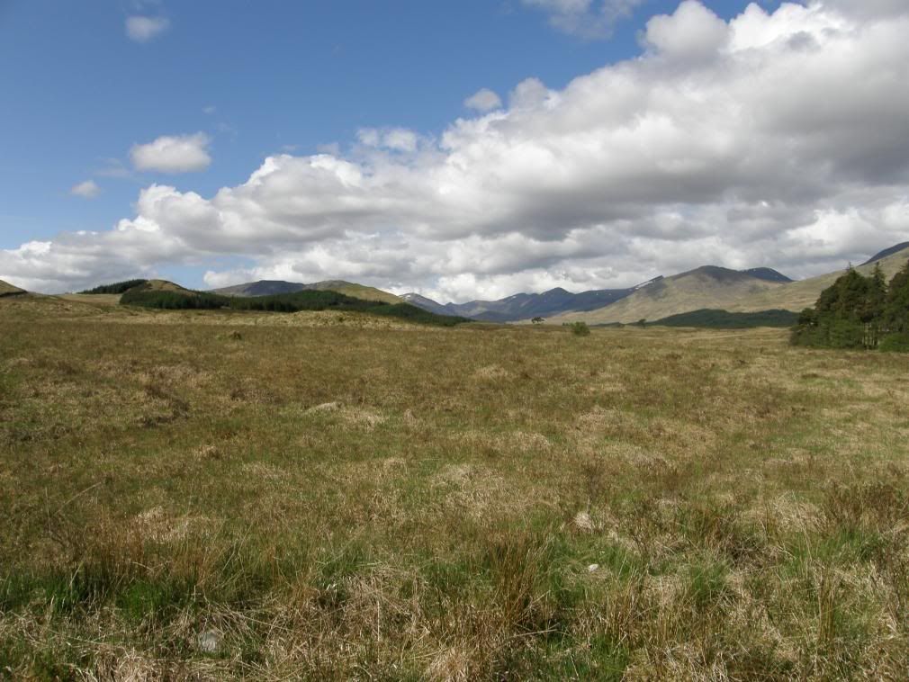
Clear skies and warming sunshine – but not for long
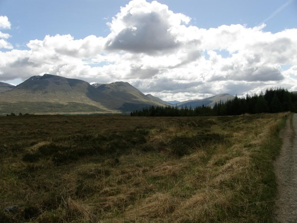
A last look back at Beinn Dorain and his fat chums
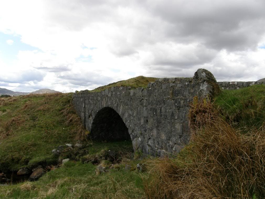
One of the many bridges upgraded in the late 1880’s
As the morning wore on there was a heat haze coming off the moorland, but further ahead I could see the cloud base dropping and knew I was in for some showers later on. As it turned out these were the only showers of the week and they weren’t heavy enough to wash the dust from my boots. There were lots of pink and white orchids by the route today, the moorland must suit their growing requirements. It was quiet and utter peace across the moor – talk to yourself land – and the mind wanders as you make your way across small bridges and side streams. The bog up here is a blanket bog, formed in areas of high rainfall and humidity. I passed by a couple of Lochans, with their boggy surrounds, and then reached Ba Bridge – a lovely location and even though the rain started here, it was a great spot to spend some time contemplating and listening to the babbling waters pass by. From here I could see a plethora of small streams and rivulets running down to the flatter areas of the moor, where it would be well and truly boggy. No doubt laden with huge swarms of midges in the summer months.
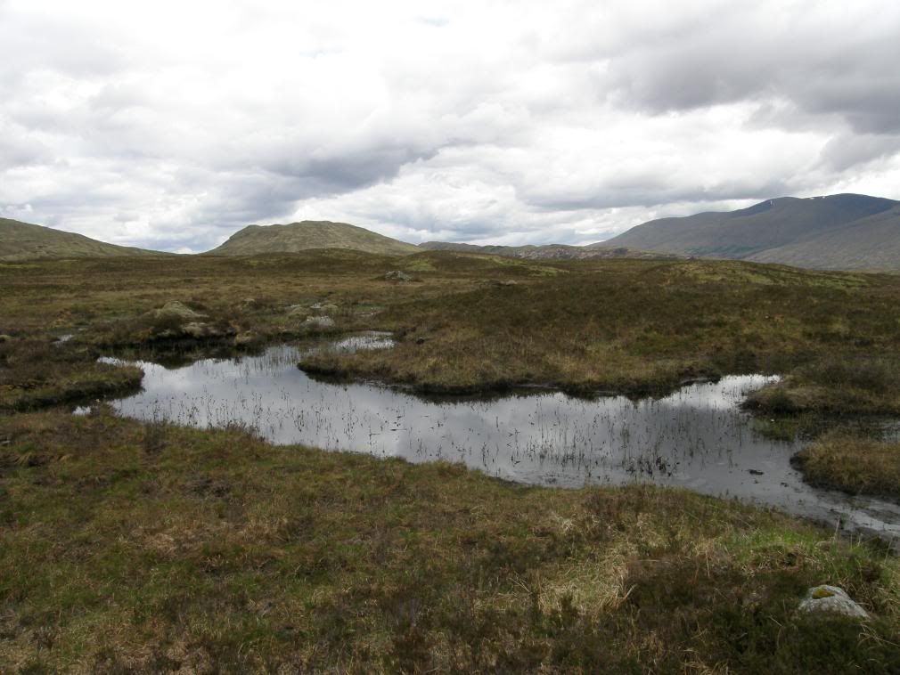
A small unnamed Lochan as I crossed the Black Mount
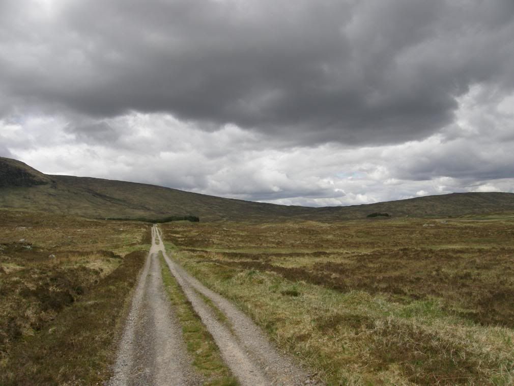
Gradually gaining ground towards the watershed
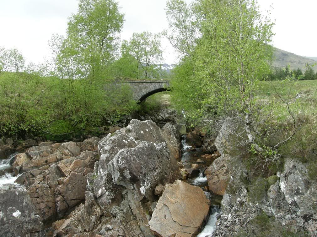
Ba Bridge – stop and empty your head here
The military road continued uphill until I reached a small cairn marking the col, and the scenery opened up to the north showing a whole new landscape of hills and valleys to come, and the very wet Rannoch moor with it’s many lochans and lochs. The path was all downhill now to the Kingshouse hotel. The view was now dominated by the rocky massive that is Buachaille Etive Mor, and even in the light rain it looks splendid. There were some areas of moraine on the lower slopes of Meall Beag, and behind me there was a strong outcrop mark on the Grampian hills – Beinn Dorain and Beinn Odhar. I looked on my geology maps when I got home and this would be a Limestone band – well hard by the looks of it!
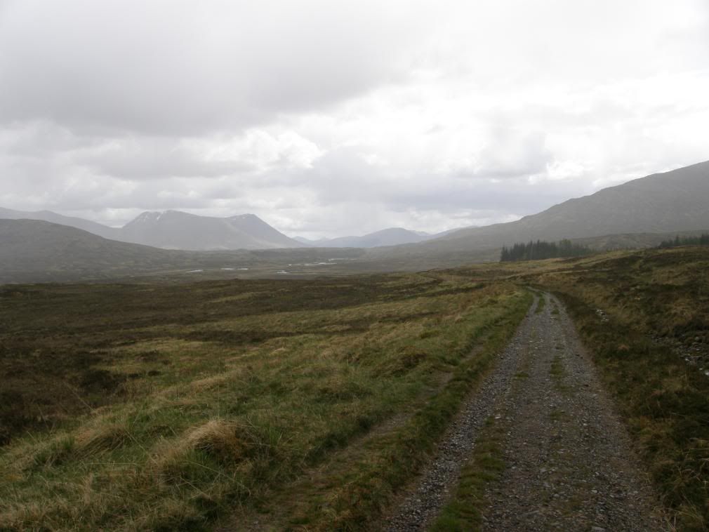
Here comes the rain over the Black Mount
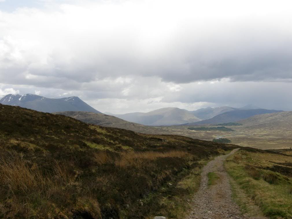
The military road ploughs on across the moors
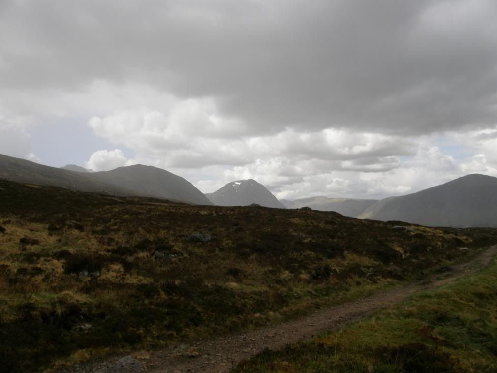
Over the top, the views open up to the east over the boggy Rannoch Moor
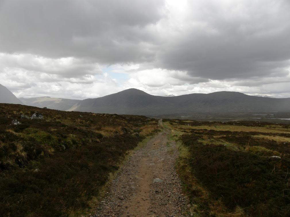
Dropping down towards Kingshouse, the Mamores in the distance
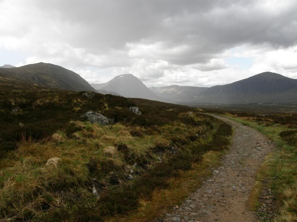
Kingshouse comes into view
The route gently marches down past the ski lift and an old cottage, cuts across the A82 road and ends at the Kingshouse hotel – the only establishment here, unless you catch a lift or a taxi up to Glencoe. The end of a big day with big views, tired but very happy, and feeling stronger as the walk goes on. In the evening the bar was full of lady members of a historic ladies walking club preparing to celebrate a 60 years anniversary – quite a few of them looked a bit worse for wear! Later I found out why there were always deer around the hotel – the cook feeds them!!
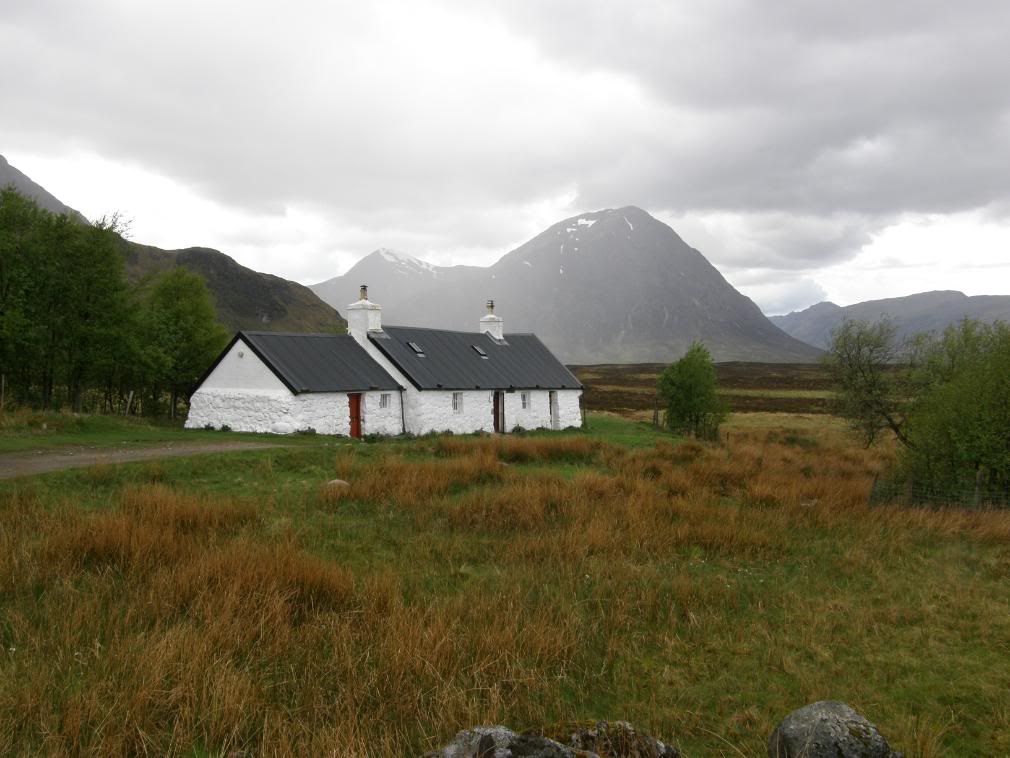
The old Blackrock Cottage, and the massive bulk of Buachaille Etive Mor

No comments:
Post a Comment