Weather: Overcast with sunny spells, dry all day again!
Kinlochleven to Fort William: 14 1/2 miles (15.8 on Pedometer)
Map:
Total Steps: 33291
Acc Steps: 237287
The last day of the WHW dawned with bright sunshine with fair weather clouds scooting by. That always gives the potential for some good pictures, and although the walk was drawing to a close, I was still looking forward to a right good stomp up through the glens. I had a quick look at the guide book and realised that the first part of today was all uphill out of Kinlochleven, quite steeply in parts. But the paths were through lightly wooded slopes and I was in and out of dappled sunlight. The views up Loch Leven towards the Pap of Glencoe and beyond were delicious, so much so that I had to watch my step once or twice or I’d be headed back to where I started from.
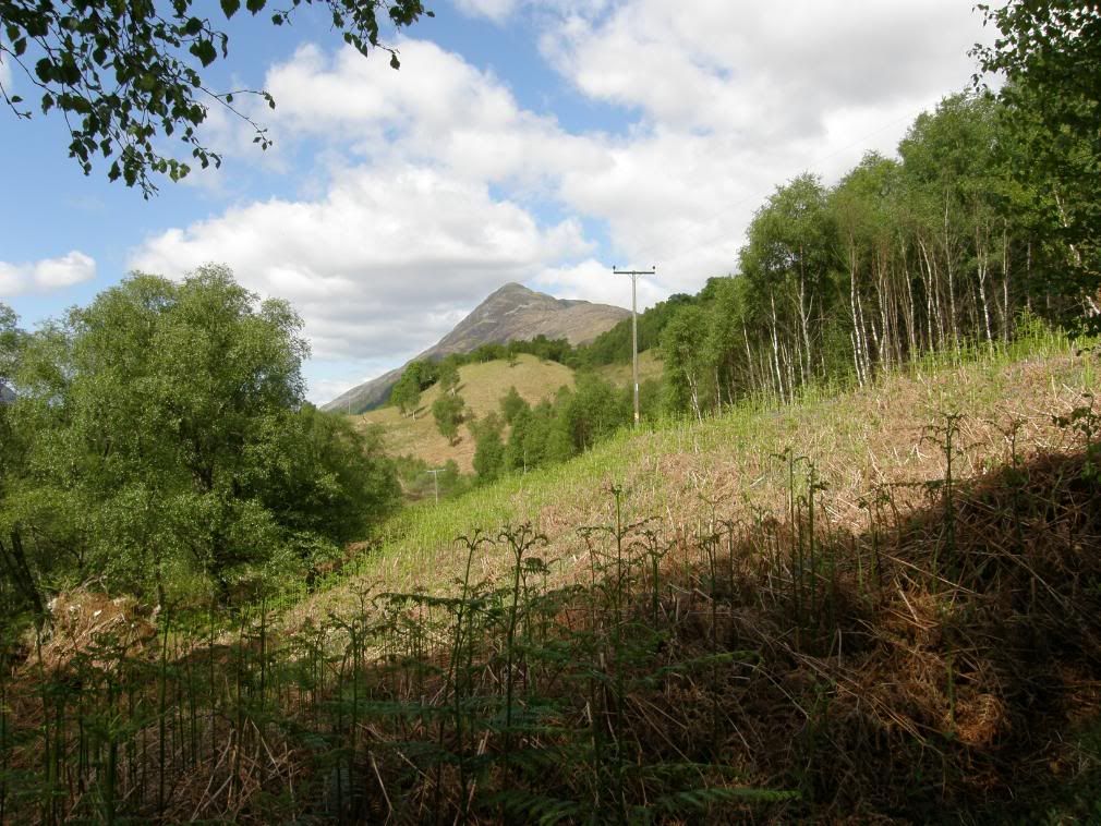
Beinn na Caillich from the steep path out of Kinlochleven
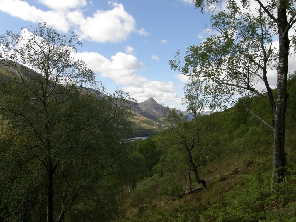
The Pap of Glencoe
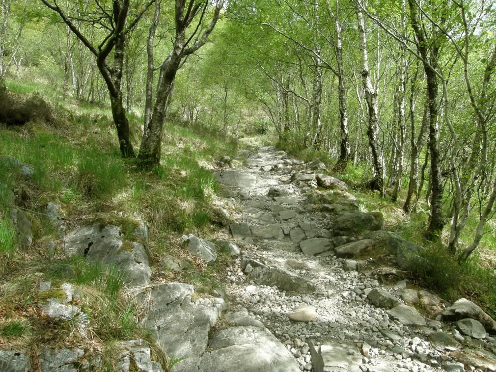
Lovely dappled sunlight illuminates the way ahead
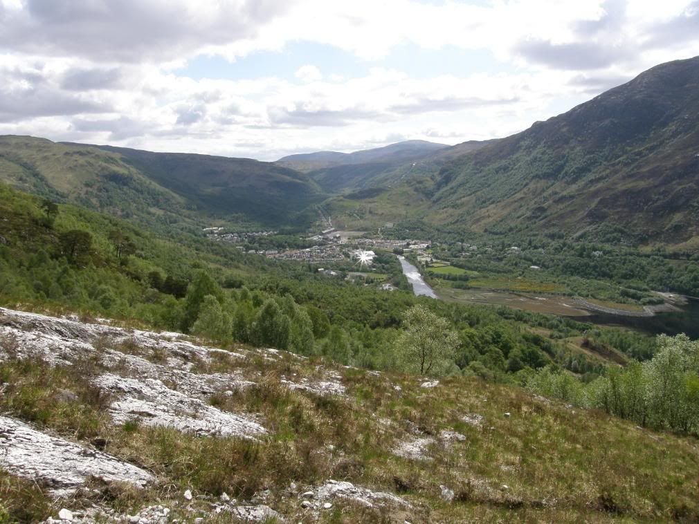
Looking down to Kinlochleven
I passed over several fords and a road, when finally the gradient levels off. A runner passed by me looking like a ‘swan vesta’ matchstick – maybe his mum dressed him as well! I was walking at a slower pace today as the route was well away from any intrusive noise, and tends to becalm the walker into a peaceful somnambulant trance – i.e. it was very quiet, sunny and I was feeling great. I could still see the odd remnant of Military road, usually at the edge of the track – look for the black moss (dead and compacted).
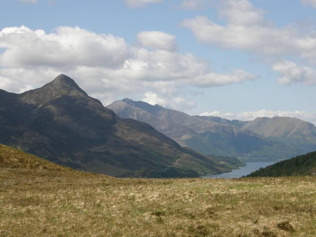
The Pap and Sgorr Bhan behind, Loch Leven below
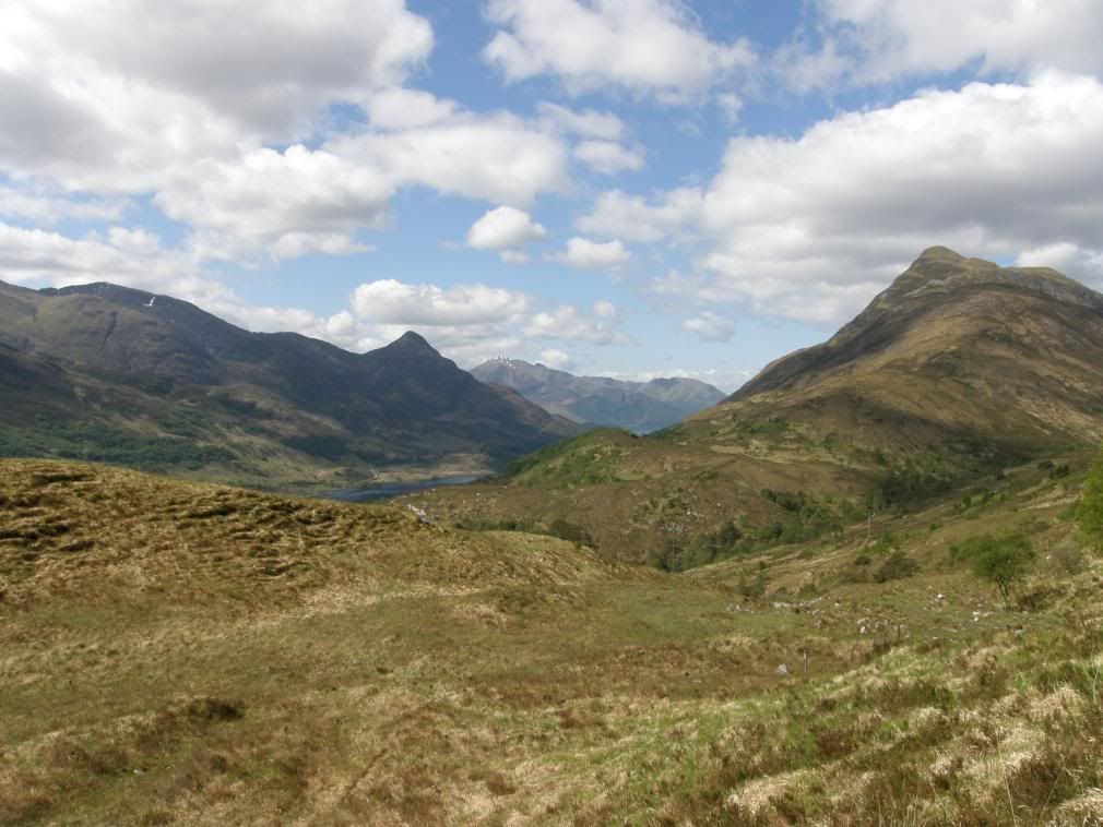
Fantastic views all around
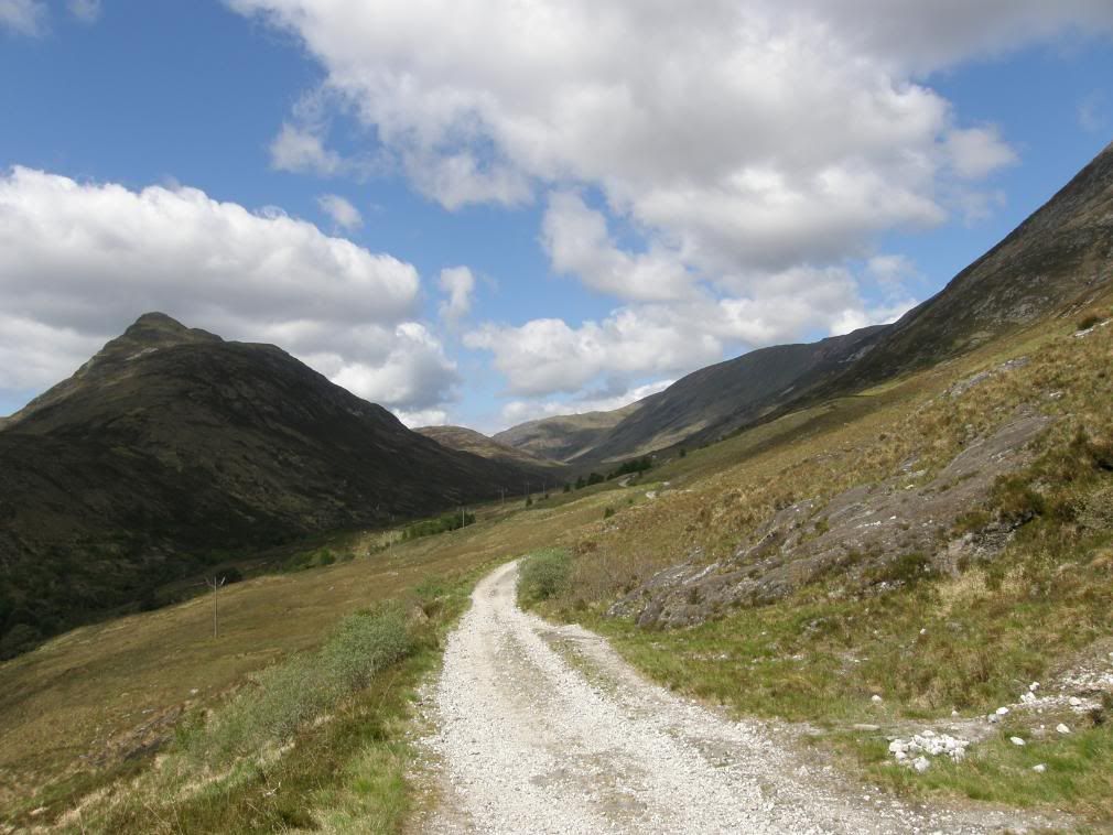
One of many side streams forded by boulders
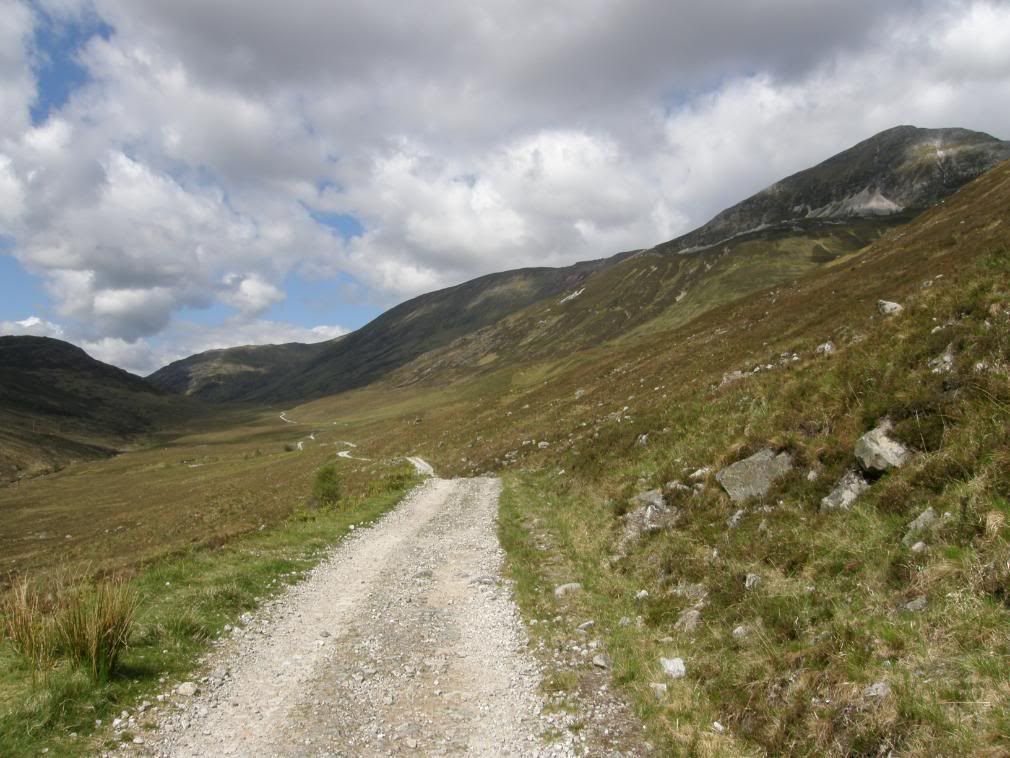
The way winding up the valley below Stob Coire na h-Eirghe
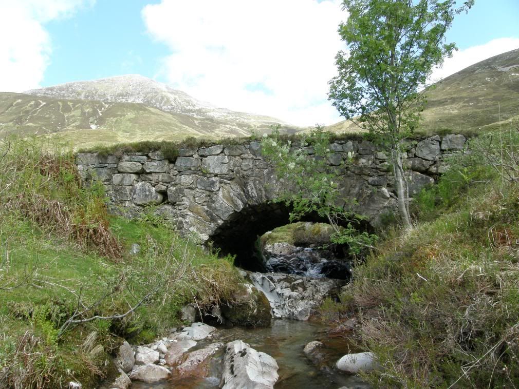
A picturesque bridge below Stob Ban – glowing in the sunlight
The way gradually climbed towards the head of the valley below Stob Ban – part of the Mamores, and one I recognised from the top of Big Ben. A small white stoned cairn marked the top and now I could look forward and back to enjoy the route taken. It was almost all gently downhill to Fort William from here with one or two small climbs. The old abandoned croft of Tigh-na-sleubhaich comes into view and I had a quick look around. The old timbers and lintels were all burnt, and the room spaces small, and no doubt shared with the livestock when the weather became too harsh. A remnant of the highland clearances? Shame on the landowners, for who would want to leave such a splendid setting – someone who scraped a living from hill farming I suspect? Nothing much has changed over the years has it?
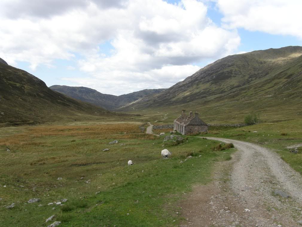
The abandoned croft buildings of Tigh-na-sleubhaich
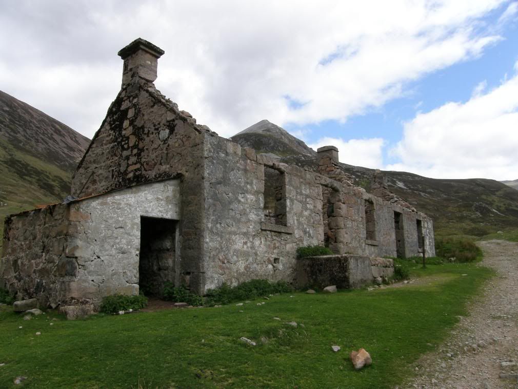
Not much room for a big family
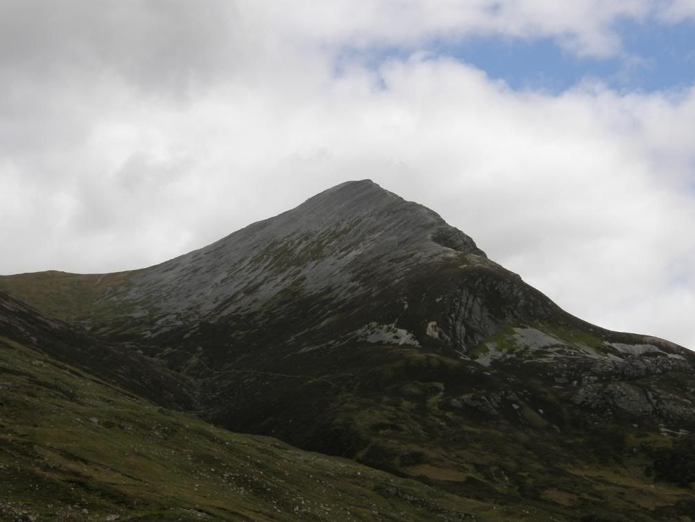
Stob Ban high above the valley
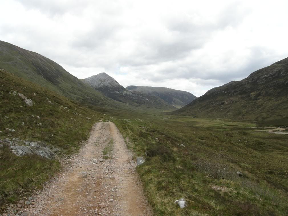
Looking back up the valley to the old farmstead
Further along the valley was another similar sized dwelling, a good spot for a rest and a bite to eat. Ahead of me appeared the hillside of Doire Ban, and for a moment I puzzled where the river flowed. But one look down at the flow of water showed that it would have to go west and then turn the corner to go north – they do flow downhill you know. The way turned north towards Fort William, and on the trail guide several wooded areas were on route. Luckily for me all the big butch lumberjacks had been here recently and felled a lot of the offending plantation and opened the views ahead and around. It leaves the hillsides a bit messy, but at least some wildlife comes back, and birdsong could be heard from the small copses remaining.
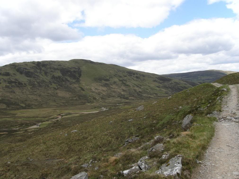
The river flows around the corner, heading north to the sea
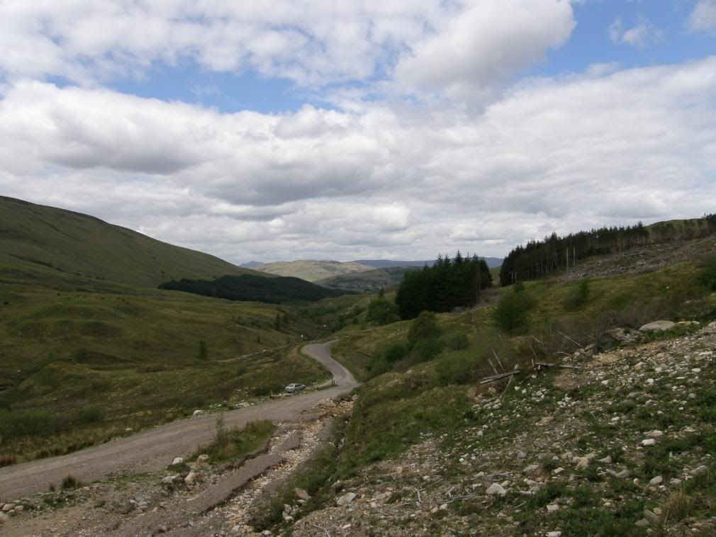
Looking north – Fort William just over the hills ahead
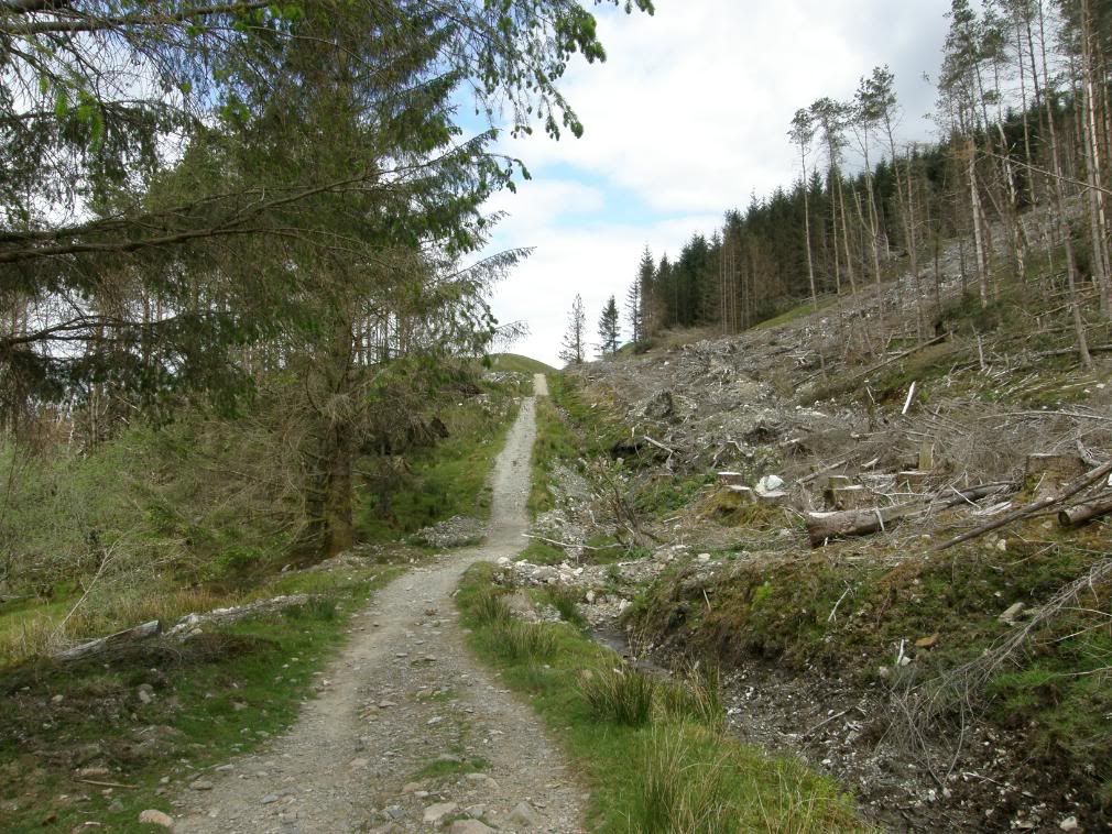
Anticipation building – Ben Nevis soon
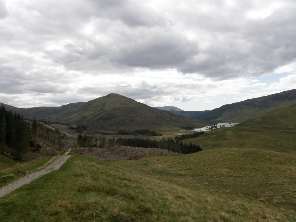
Looking back to Lochan Lunn Da-Bhra
They had left some spindly stumps poking up above the surrounds, and after listening to a cuckoo for a while, I finally spotted him and took a picture – see the flora and fauna section. Further along the path I passed by a sign that details the fights between the Campbells and MacDonalds at the battle of Inverlochy. There is a cairn close by that says if you’re a Campbell sympathiser then you add a stone, but if you are allied to the MacDonalds you take one away. Not wanting to offend, I put one on then took it off again – who says we don’t play fair? The WHW splits away from the old military road and I took a few minutes rest on a handily placed bench overlooking the Lochan Lunn Da-Bhra. A gentle ascent up the slopes led to my first views of Ben Nevis.
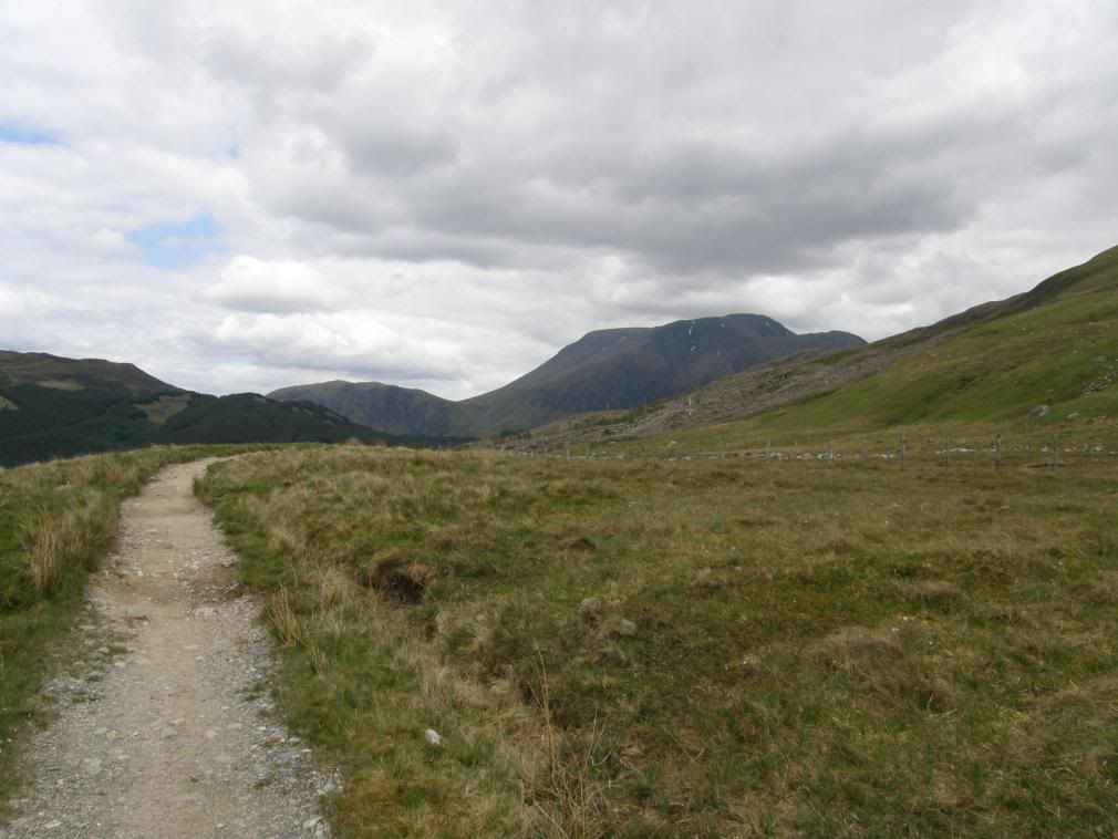
Ooh hello big boy
After this I passed over a couple of massive, wobbly wooden stiles on my way into the plantation woods and the views became closed in and slightly oppressive. The way winds up and down small valleys, quite steeply at times. Eventually I came out onto the wide forestry ride and the end of the way was approaching as I had good views of Glen Nevis, Ben Nevis and Aonach Beag behind me. The usual small streams were crossed on the way, with the only vegetation under the plantation edge being mosses and bryophytes. It had been so dry that even some of these were curling up their toes! The paths work their way down to the valley floor and reach the road to Fort William. The only jarring note is that the way follows the road for just over a mile to the end of the trail. A better option would be to cross the river and follow the far bank into the end. But whichever way I chose the end was nigh and as I rambled into Fort William, the signpost marking the last point of the WHW appeared – they even cut the grass especially for me. I met a couple who told me they didn’t want it to ever end, they probably meant ‘we don’t want to go back to work’. How did I feel? – that’s an easy one – walking ….its BRILLIANT.
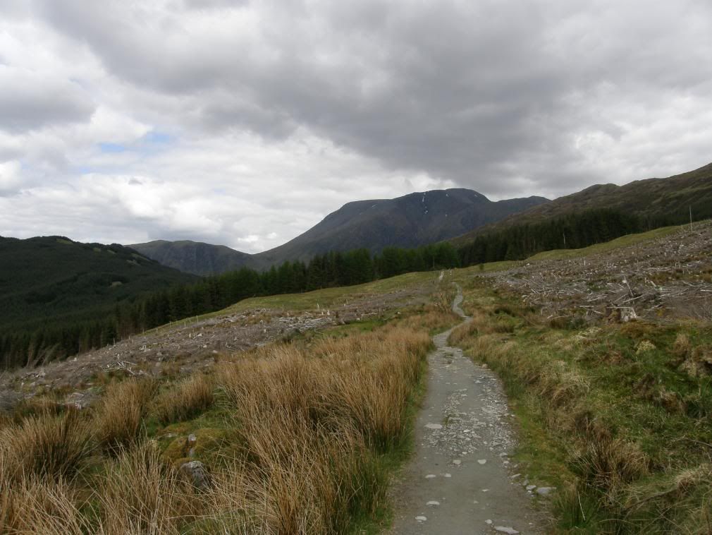
Getting closer and looking bigger
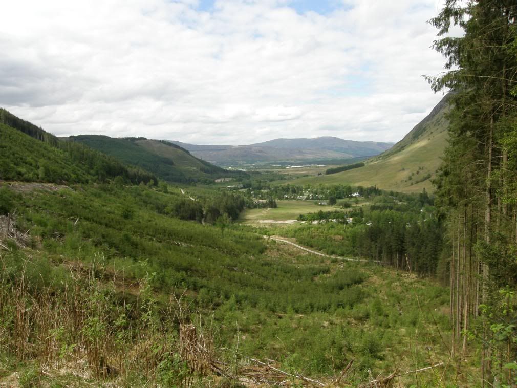
The gentle drop down into Fort William down Glen Nevis
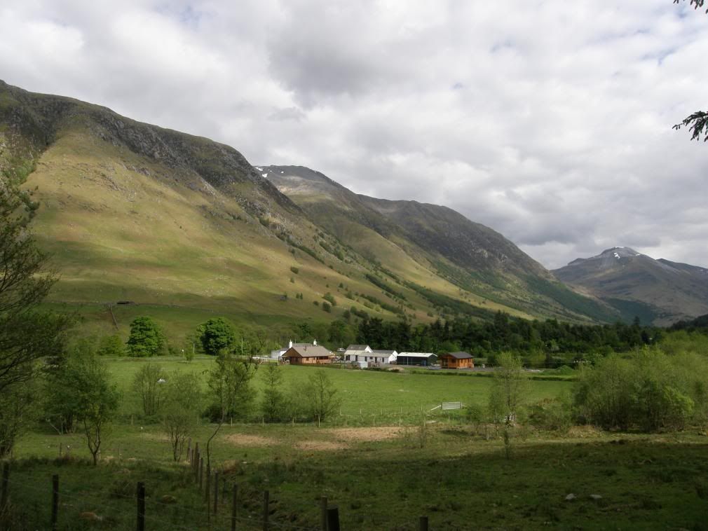
Ben Nevis doesn’t look so bad from here
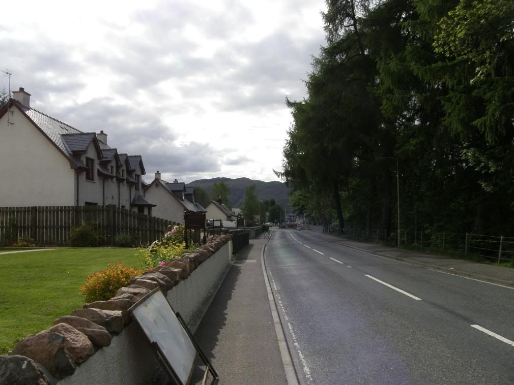
Approaching the Nevis roundabout

The end and we all walked happily ever after!!

No comments:
Post a Comment