Weather: Sunshine, then overcast with sprinkling of snow on top
Auchinlee to Ben Nevis: 12 ½ miles (12.8 on Pedometer)
Map:
Total Steps: 26205
Acc Steps: 263492
After a very good evening meal and celebration at the Lime Tree Hotel in Fort William, I was ready for the final challenge that was Ben Nevis.
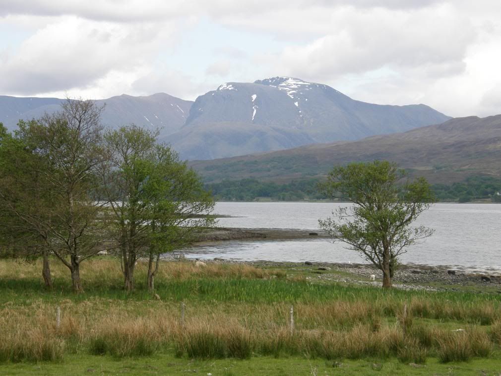
The view of Ben Nevis from Loch Eil
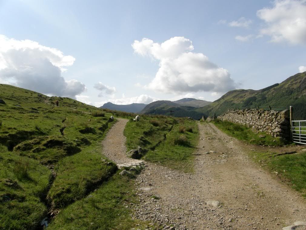
Turn left where it says Ben Nevis!
The sun was shining and I started off from the Nevis Bar at Achintee Farm. The gradient from here is a lot easier than the short haul up from the YHA, and why would you waste effort so early on in the walk. I had checked out the weather forecast and it was set fair for the day, which is roughly how it stayed, apart from some low cloud on the summit. It would be easy to be lulled into thinking that all I would need is some refreshment to get up to the top and back. How wrong could you be? I packed an extra jumper and had my woolly hat and gloves ready, and I was glad to use them at the top, especially in the small snow shower!
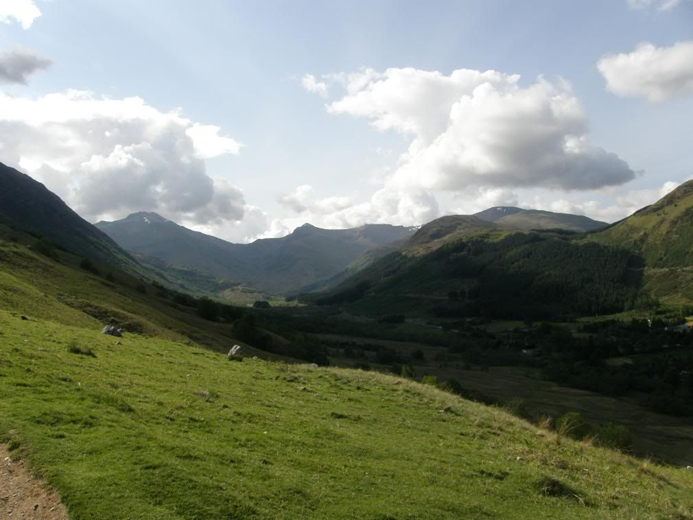
Looking to the head of the valley and the Mamores
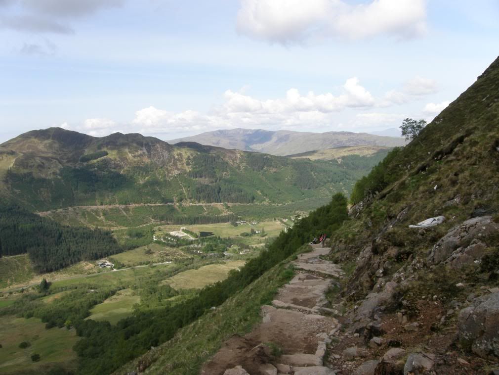
The WHW path to Fort William can be seen on the opposite side
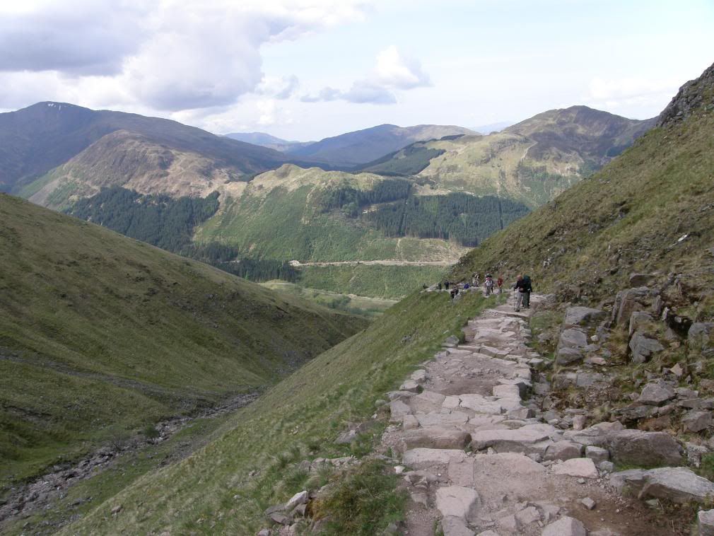
Getting steeper as I passed a whole string of walkers
The tourist path starts off its gentle ascent up a well trodden path – you can’t miss it – there is a sign pointing to Ben Nevis! The short steeper sections are laid with a series of steps, which make the going less of a strain. It is a long grind to the top but well worth it. The path climbs steadily to the south west under the face of Meall an t-Suidhe, crossing side streams by ford and bridges (aluminium), before turning to the north west and becoming steeper. I took time to stop and enjoy the views looking down on the hostel in the valley below and taking in the Mamores across the valley – but I didn’t spend too long as I would be looking at the same aspect on the way down later on. I passed by many people on the way up today, not because I was suddenly super fit, but because my legs were now well tuned in to gradients and they were on automatic climb mode. I tend to struggle more downhill than up due to the pressure on the old knees, but I’m glad to say they stood up well to the task. My hat took up most of the sweat off my brow (and sweat you will – unless there is something wrong with you, or its 10deg below) and I had to change it later on for the woolly version to stop the cold. The path up the Red Burn Gully – probably named after the reddish hue of the granite, is a little steeper than before, but again has plenty of stony steps to make progress onwards and upwards. The route zigzags back on itself towards the top of the gully to attain an easier gradient past the halfway lake which is about halfway up height-wise at 610m – the real name is Lochan Meall an t-Suidhe – halfway lake to his friends! I found my pace quickening on the easy gradients and knew I would make the top in a reasonable time, although I hadn’t given myself a target to aim at. I was walking for the fun of it, not breaking any personnel records, even though I would be the tallest man in Britain for a fleeting moment at the top. I reached a small stone wall at the end of the long leg up past the halfway lake, and the path turned back on itself in a zigzag. The climb from here was roughly the same gradient all the way to the summit, zigzagging upwards on a rocky, and boulder strewn path. Some of the path is very rough, but I suppose it is subject to a lot of wear and tear over the year – I tried not to knock off any loose stone on the way up or down.
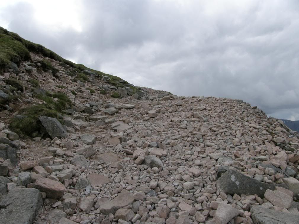
Some rough steps ahead
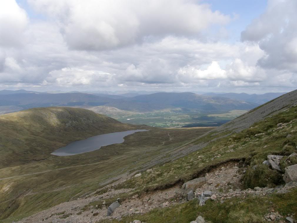
The halfway lake from way past halfway
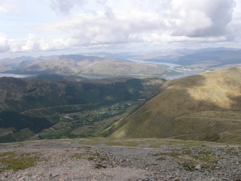
Loch Eil in the distance, the YHA far below
There wasn’t much flora or fauna to look at on the mountain – too many people in the morning rush. I spent a lot of time looking at my feet today, picking my way along. The geology didn’t vary too much and there wasn’t much to excite me geologically. I gently nibbled on my nuts as I got higher – a good source of energy along with the wrinkled sultanas. One thing to note that in busy times you will be hard pushed to find any privacy to have a wee! So hold on tight or go before you set off – you have been warned!
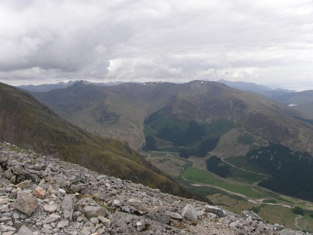
The Mamores and beyond
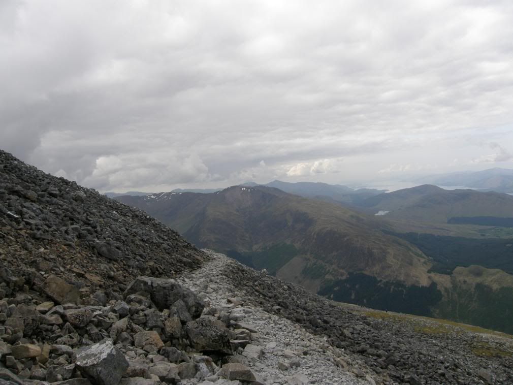
Getting ever higher
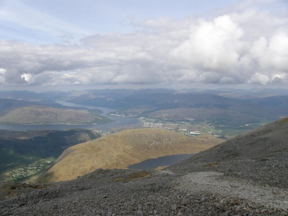
Fort William comes into view behind me auld aunty Swede – Meall an t-Suidhe
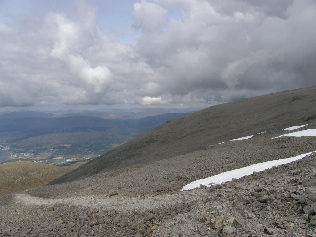
The path now crossing the scree slopes
As I reached the grey scree slopes higher up, I got the feeling I was getting ever closer. But as with all good climbs the false summits are there to taunt you. The first snow patches appeared around 1000m and became thicker patches the higher I got. A series of stone cones marked the path towards the summit, followed by a wide expanse of snow to walk, slip, and slide up. Once I had passed the snow I was level with the adjacent peak of Carn Dearg – a mere 1214m – pfffd, and lots of rubble across from Ben Nevis. Then the snow cornice at the summit came into view and I was nearly there.
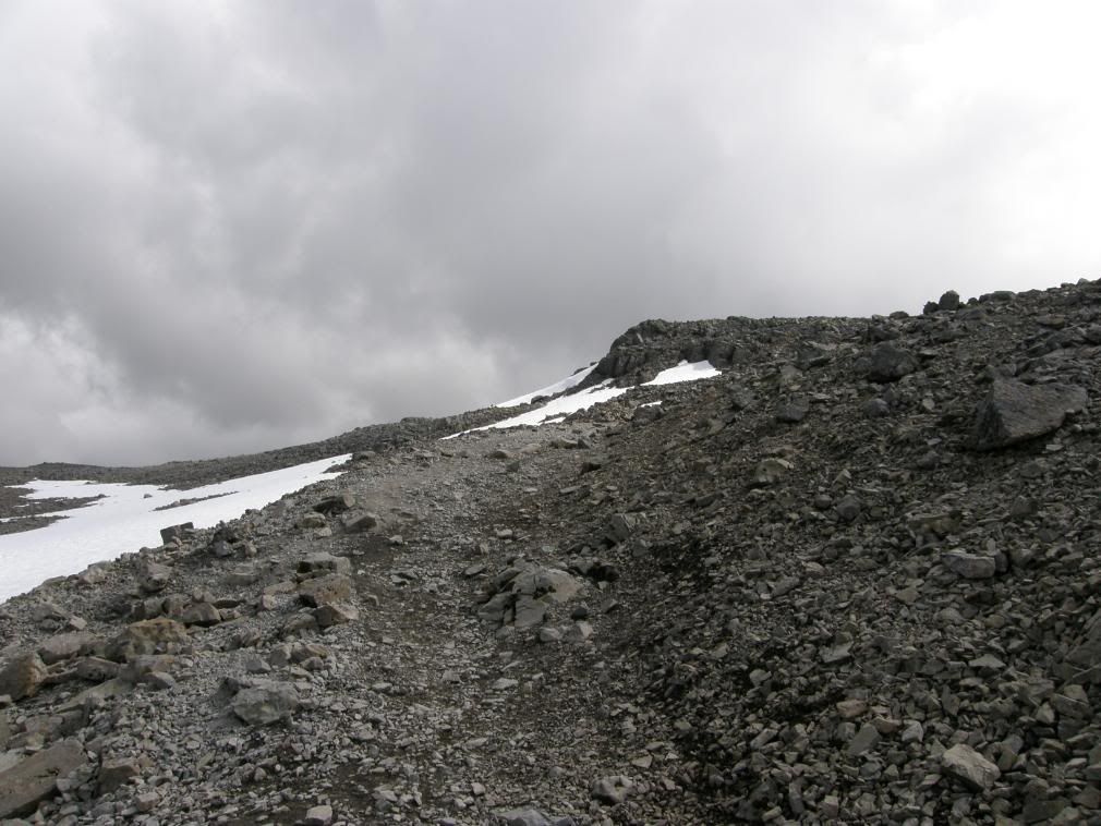
I think I’m getting closer, but……
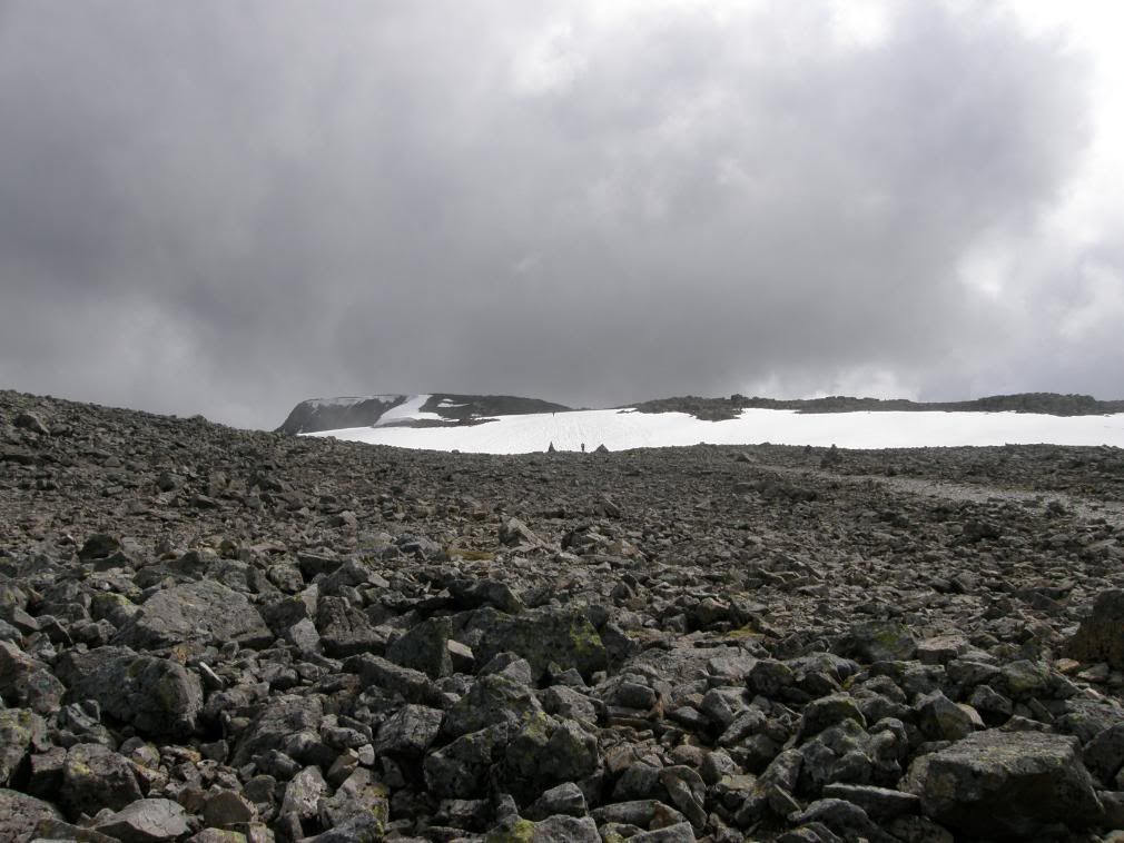
…there was still a way to go yet
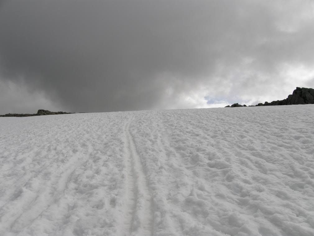
Up across this patch of snow
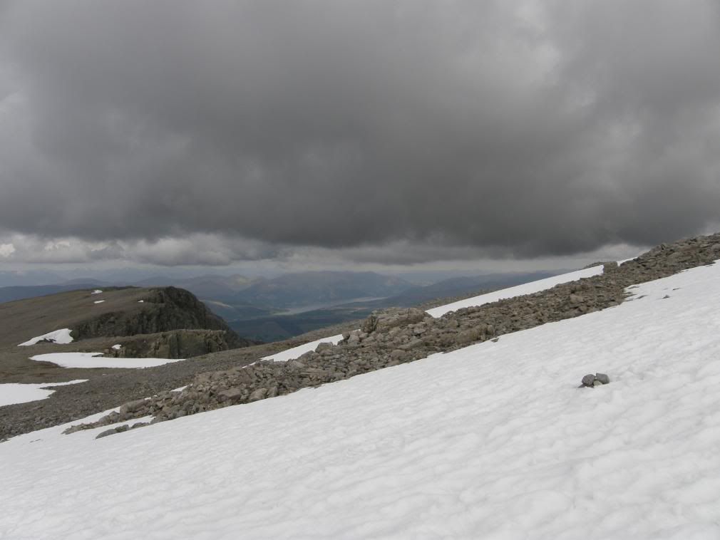
tiny Carn Dearg
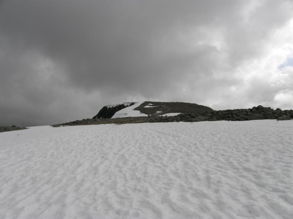
Nearly, nearly there
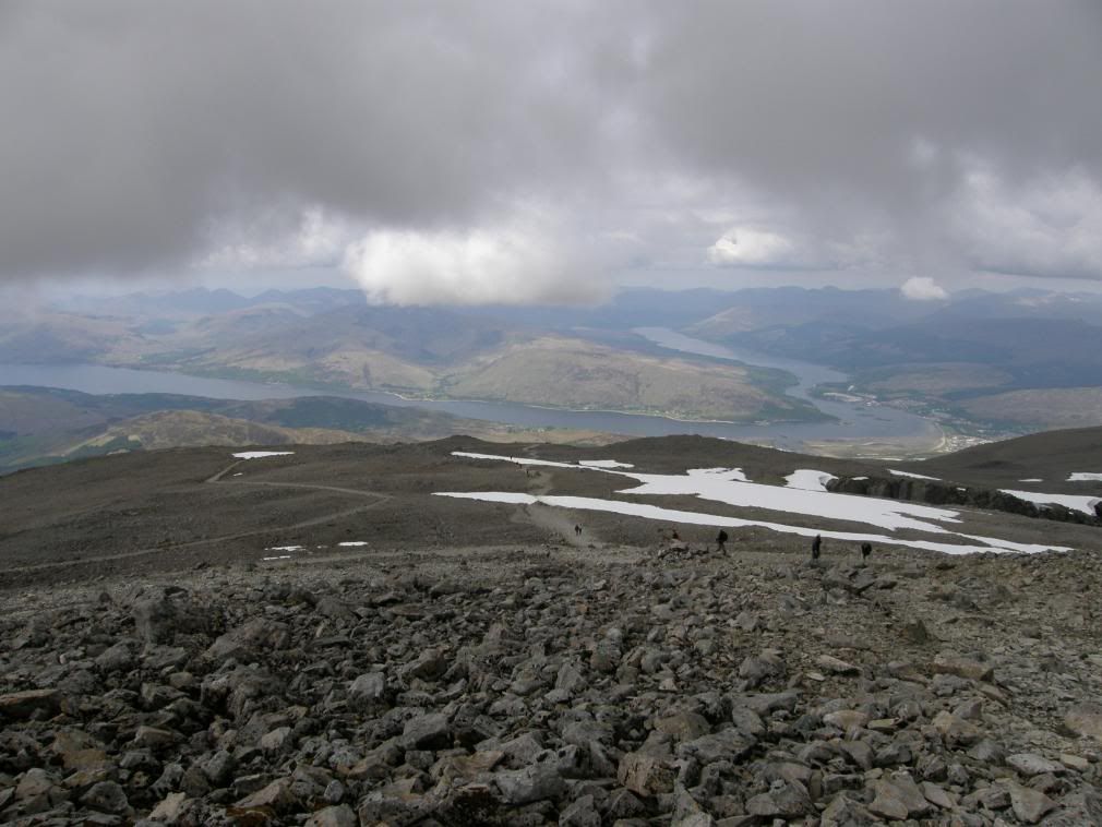
People got fed up zigzagging and went straight for the top
What a great feeling and in my eyes the true end of the WHW, stood on the summit trig point shouting ‘I’m bigger than you are’. You try not to grin when you’re up here, that is nigh on impossible. The old observatory was nestled and surrounded by a blanket of snow about 1m thick. The snow cover made everything neat and tidy and I’m not sure if it would look good naked later in the year? I spent sometime looking at a couple of intrepid souls climbing up a ridge on the wrong side of Ben Nevis and wondered if I could/would like to do that. On second thoughts I like walking, not rock climbing. I spent about 30 minutes wandering around the summit as the visibility was good. If it was misty it would be easy to get disorientated up here as the summit covers a large area, and there are some seriously dangerous drops on the eastern side. So beware, and carry a compass and map – unless it’s the middle of summer with not a cloud in sight.
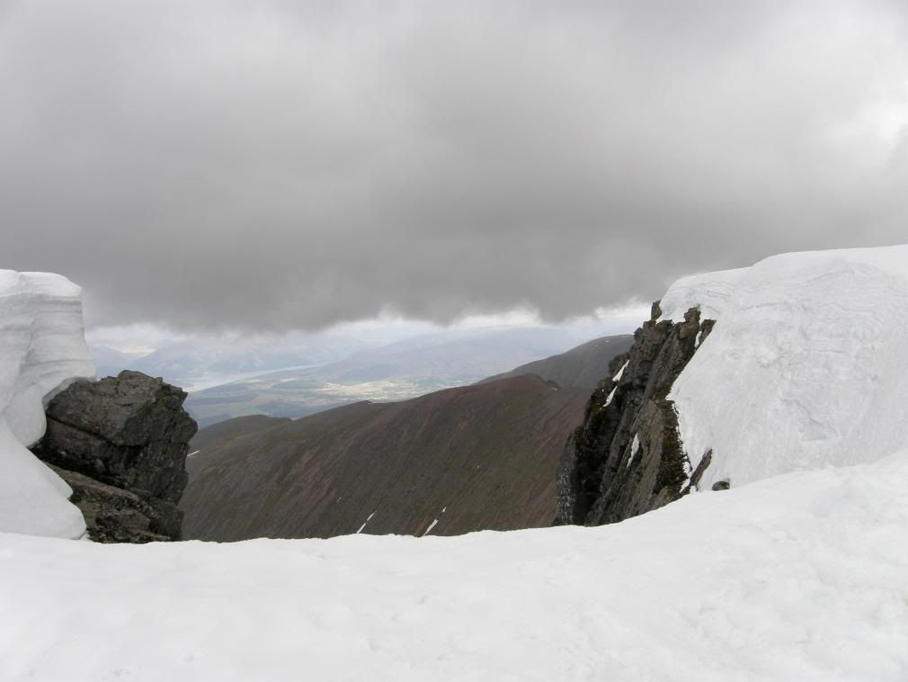
I didn’t go too close to the edge – it’s a long way down
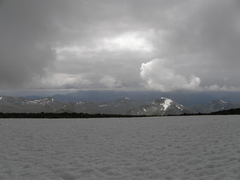
The Mamores lit up below the cloud base
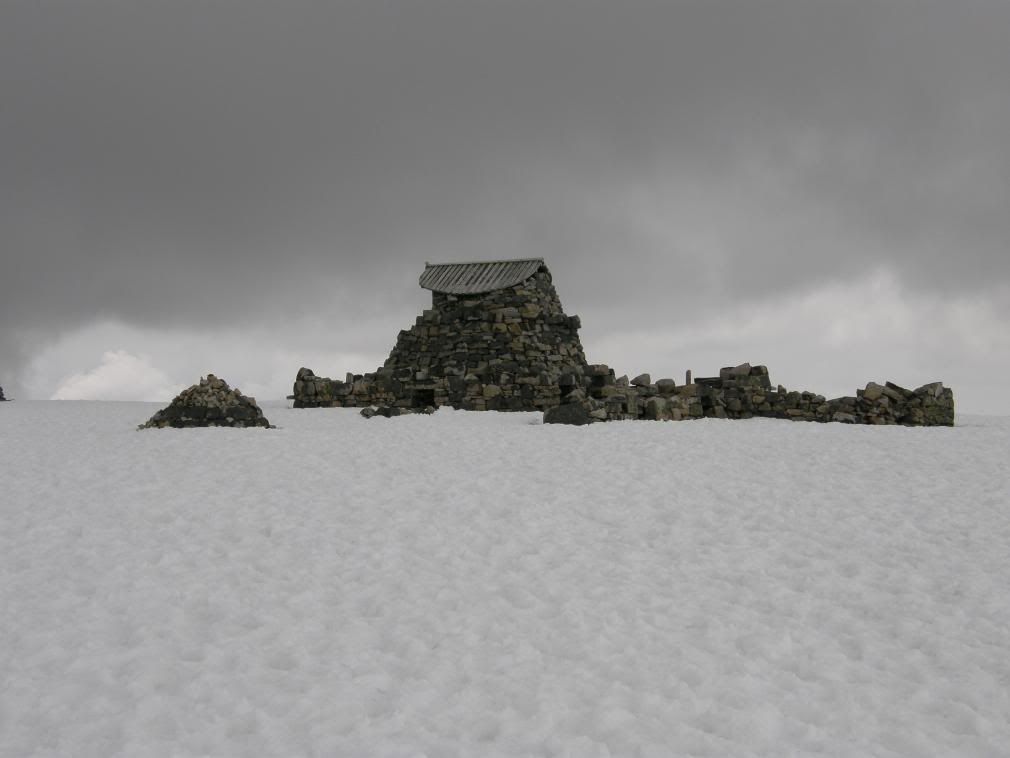
The old summit observatory
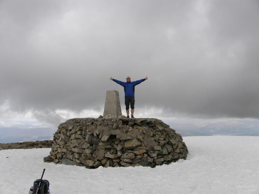
I’m the king of the castle….
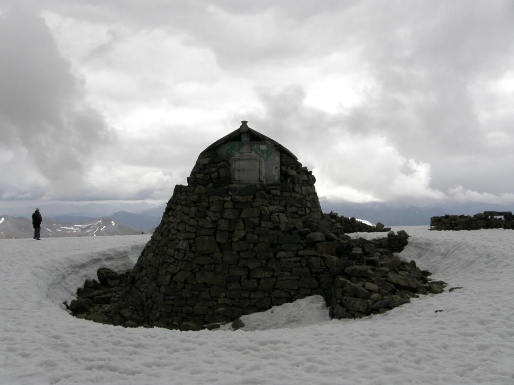
This shows the thickness of the snow layer
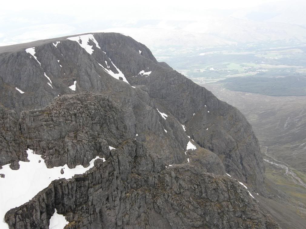
Can you spot the climbers? Yes they are completely bonkers
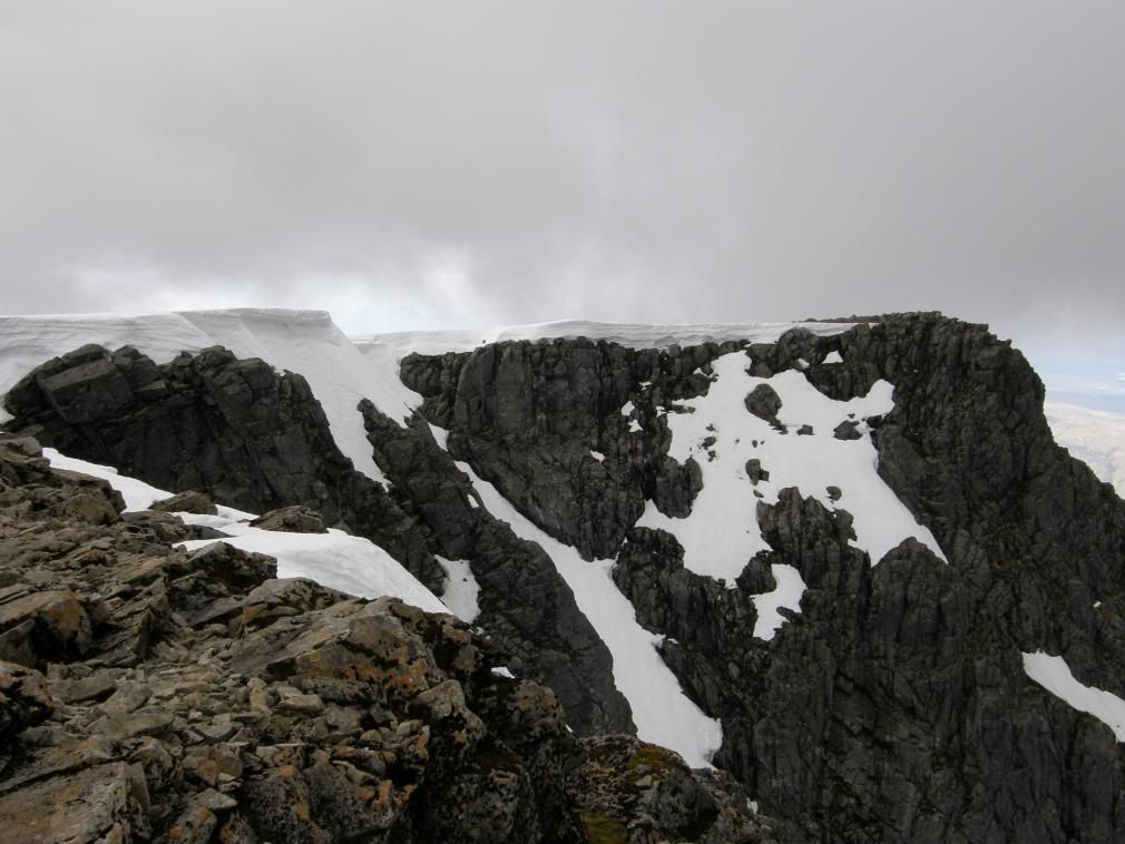
The very edge, and very airy
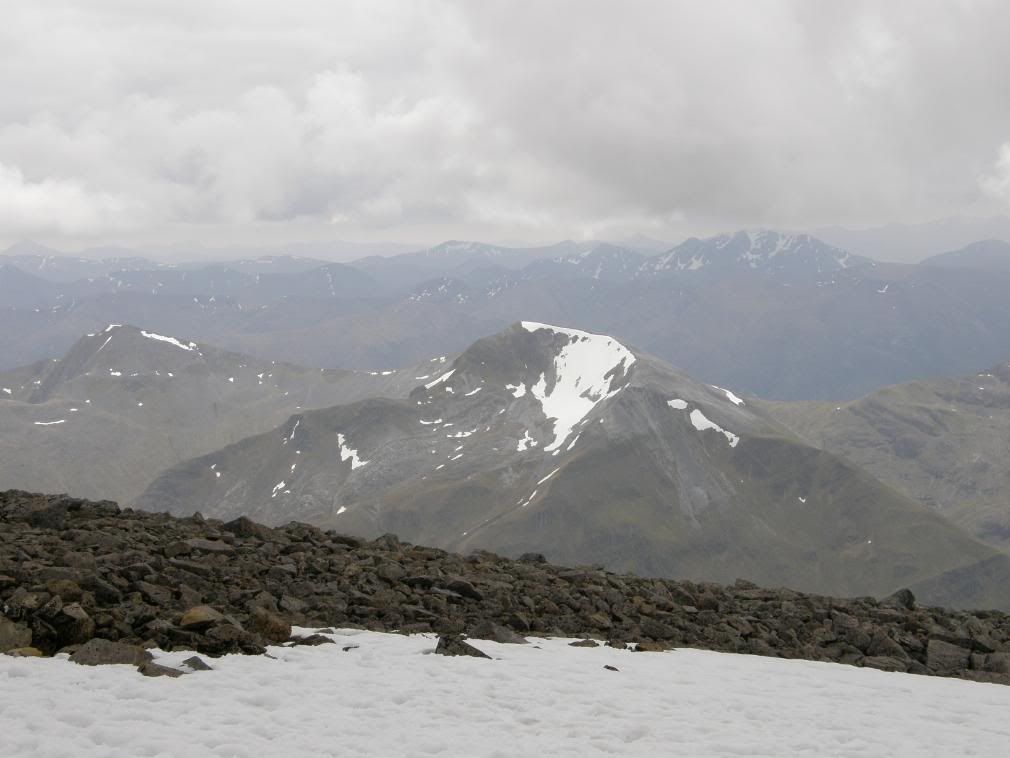
A close up of The Mamores
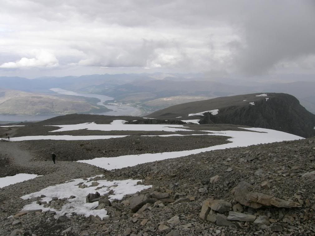
Now for the long walk down, Loch Eil in the distance
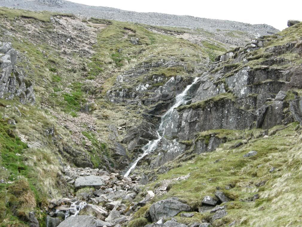
The stream down into Red Burn Gully
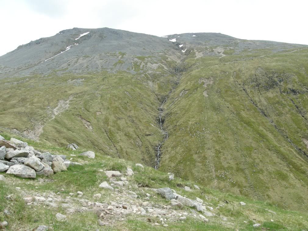
The long traverse path from the halfway lake – left to right
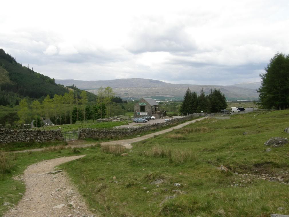
The Nevis Bar comes into view
Then all of a sudden it was time to go and end my journey. The path down was the same as the one coming up; except for me it was harder on the knees. It took me 2hrs 30mins to the top, I spent 30mins on the summit plateau, and then took 2hrs down – a grand total of not very long in my eyes. Not bad going for an old fart, and I finished the walk with a celebratory pint in the Nevis Bar – did I deserve it? Your damn right I did! As I sit here now typing the last page of the last day, I can now look forward to my next long walk. You know what I think of walking by now – it’s absolutely brilliant.
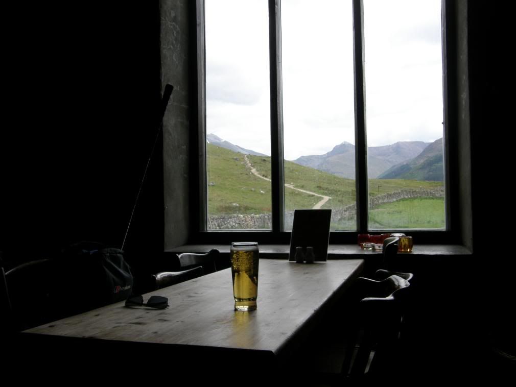
Aaaaaaaagggggggghhhhhhhhhhhhh
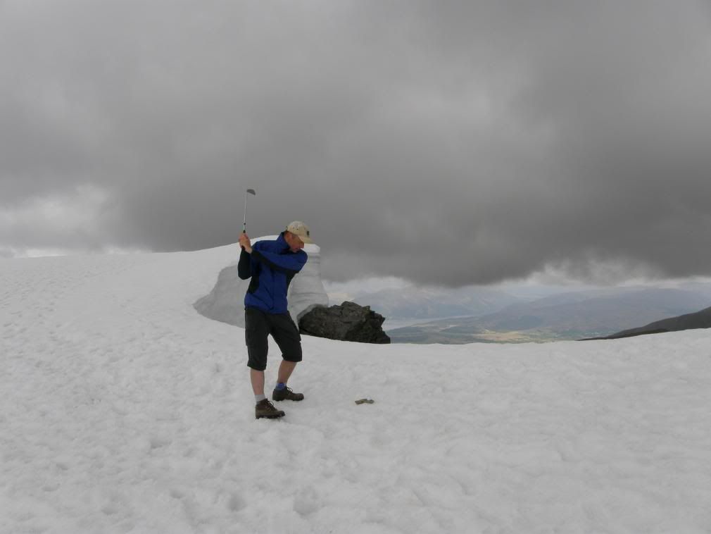
And finally if you thought golf was boring…
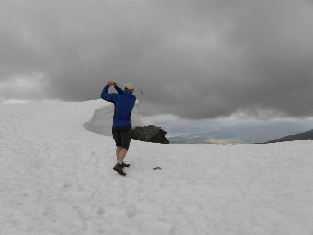
Remember to shout..’FORE’…but not up here, you may start an avalanche!
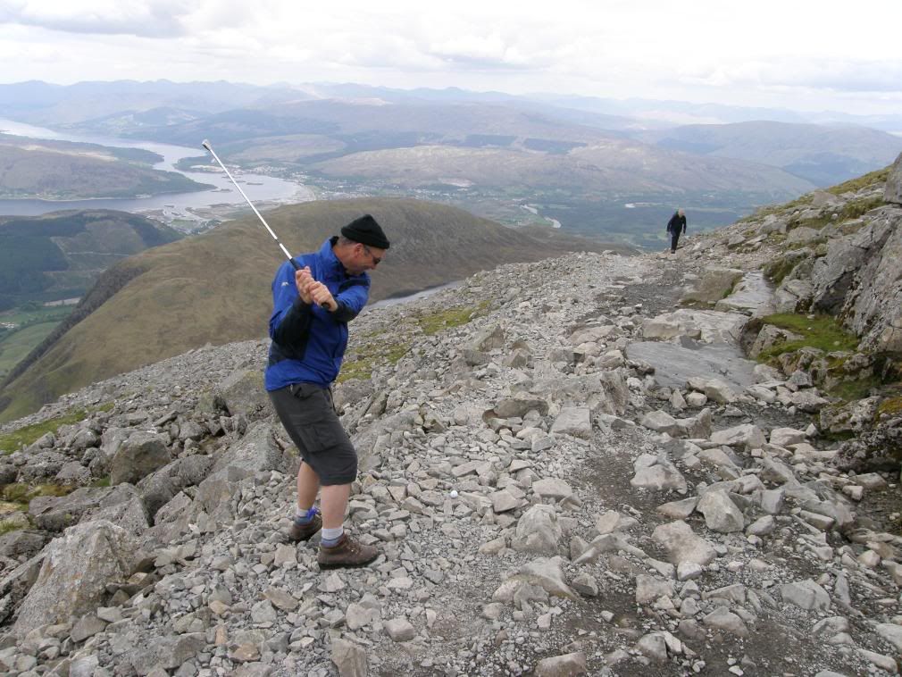
My next shot was rubbish!!
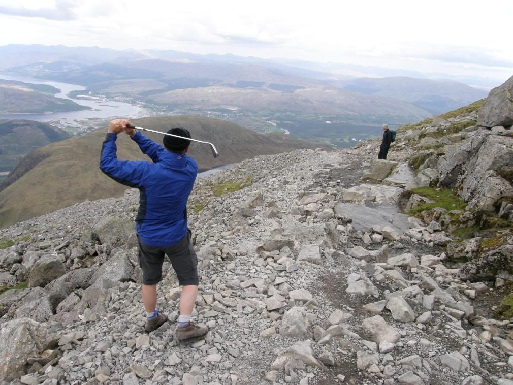
…did he really think I had hit a golf ball up here?

No comments:
Post a Comment